
Share this @internewscast.com

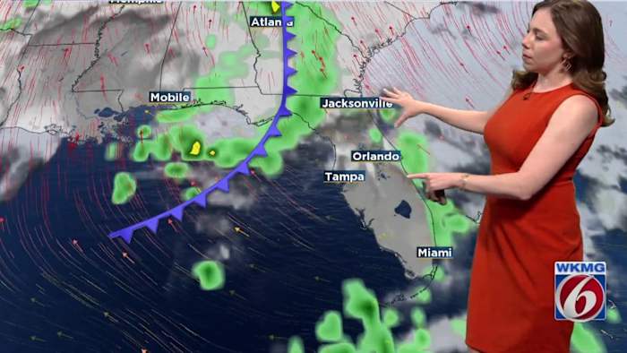
ORLANDO, Fla. – Another “cool” front is moving across Florida on Wednesday, bringing another round of drier air along with it.
Expect humidity levels to drop, keeping conditions comfortable. meaning air will feel less sticky. With limited cloud cover and plenty of sunshine, temperatures will climb into the low to mid-80s. Wednesday night, it’ll cool down to the mid-50s to low 60s.
High pressure will settle over the southeastern U.S., keeping things dry. Temperatures will be a little cooler, with highs in the upper 70s to low 80s and lows dipping into the mid-50s to low 60s.
By Friday, the high pressure system will start to move off the coast, picking up winds from out of the southeast at 15 to 20 mph. Moisture will be pushed toward the area, bringing more cloud cover. Highs will stay in the upper 70s to low 80s, and lows will stay in the low to mid-60s.
This weekend, expect some unsettled weather to move in as a weak front passes through the state on Sunday, with a second front moving through on Tuesday.
This will bring a higher chance of rain and storms, with Sunday having the highest chance (30-50%). While forecast models are now agreeing on the timing, it’s still a bit unclear how things will shape up into early next week.
Expect mostly cloudy skies through Sunday, with some improvement on Monday and Tuesday. Highs will stay near or slightly above normal, reaching the upper 70s to mid-80s, with Monday and Tuesday being the warmest days.
Copyright 2025 by WKMG ClickOrlando – All rights reserved.


