Share this @internewscast.com

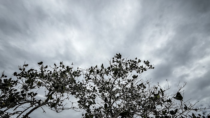
ORLANDO, Fla. – If you’re spending Mother’s Day in Central Florida, you’ve probably noticed the sky is heavy with clouds, and showers and storms are approaching.
But don’t let the weather dampen your celebrations! My best wishes to all the incredible mothers, and I hope you find every chance to enjoy the day to the fullest.
These rainy conditions will stick around until late tomorrow evening, after one last push of showers and potential severe thunderstorms.
Afterward, we’ll see dry conditions making a swift return. Looking ahead, there’s a potential to hit record-high temperatures by the next weekend. Since early 2025, weather fluctuations have been the talk of the town, and it seems this trend is here to stay for now.
The question I bring to light today however has nothing to do with drought, dry air, or anything of the sort. As we continue into the middle portions of May, hurricane season is only a couple weeks out.
How does Central Florida falling back under hot temperatures and dry conditions play a role in the hurricane season? I also add, why is this something we really need to focus in on as we go through the first month of the season and especially approaching the peak later on into August, September, and October.
Let’s break it down.
If you harken back to old stories I’ve written, we’ve talked about the “Pacific North American Oscillation” as well as the “North Atlantic Oscillation”.
Both of these dictate heavily how our day-to-day weather unfolds in our neighborhood. When beneath a positive PNA, characterized by a trough of cooler air extending down from up north into the southeast U.S., we tend to feel faster moving winds at ground level and our rains are general more persistent during the day.
But once we switch to a negative PNA, where our local weather pattern is absolutely dominated by a strong ridge of high pressure, we’re noticeably drier. Winds aren’t blowing as much. This was a direct contributor to our drought and brush fire risks building during the month of April.
That dome of high pressure is an extension of the Bermuda Azores high spread out like a dome across the Atlantic ocean. As the name implies, when it’s in a more traditional configuration, its influence is felt from the Azores just off the coast of Portugal, to Bermuda off our Mid-Atlantic shores.
This pressure center is also a HUGE signal we use when determining where tropical waves, and unfortunately tropical cyclones could track during busy periods of the hurricane season. The North Atlantic Oscillation mentioned above is a key tool to look at when we want to see whether this high pressure will be stronger or weaker.
Where we stand currently, long-range models seem to suggest we could see a more potent extension of our Bermuda-Azores high stuck up against the eastern U.S. as we head through the bulk of hurricane season. Now pending when and where we see features try to organize, this could suggest we’ll have more tropical systems trying to make a run into the Caribbean, or towards the Bahamas, and towards the Gulf.
Anything that manages to get that close to us could be a problem. Of course I have to caution immediately, these are forecast models attempting to look several months into the future. So as we go from the middle portions of May, into June, July, and so on, skill drops off like the 90 degree plunge of SheiKra at Busch Gardens.
But, this is a critical signal that can’t be ignored. Not only will this try to bring back dry, drought conditions for us here in Florida, but it could create some dicey scenarios for Floridians when the hurricane season does arrive. Last year, the ridging we’re describing here was both a curse and a blessing for us.
A curse that drove Helene and Debbie right into us. A blessing that kept Rafael and Sara from becoming our fourth and fifth named storms to landfall the state of Florida. For now, let’s keep watching!
And get ready for a summer style return in our area the next several days.
Copyright 2025 by WKMG ClickOrlando – All rights reserved.
