
Share this @internewscast.com
The NSW State Emergency Services (SES) continues to enforce 32 warnings throughout the state, including earlier directives for residents in Wamberal and North Entrance to evacuate.
‘Strong to damaging’ winds
However, winds described as “strong to damaging,” averaging between 55 to 65 km/h and reaching gusts of around 100 km/h, remain possible in areas like the Northern Tablelands, the Mid North Coast hinterland, and near the Border Ranges. These winds are anticipated to subside later on Thursday morning.
Locations which may be affected include eastern metropolitan Sydney, Wollongong, Ulladulla, and Tenterfield.
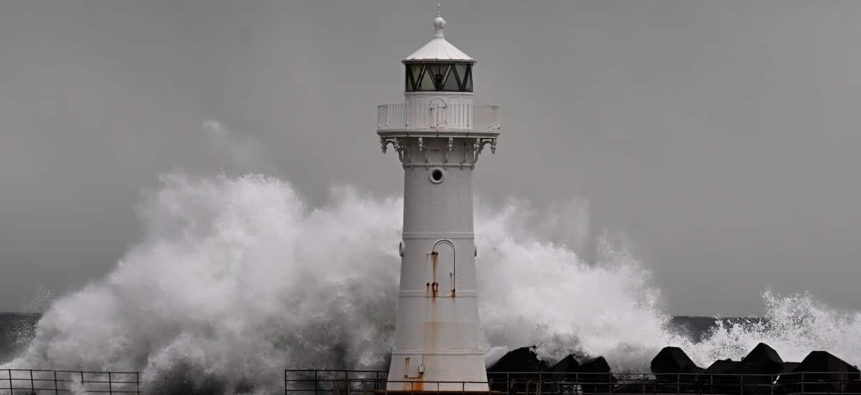
Six-metre-high waves
Waves with heights exceeding six metres have been observed in some of these areas.
Severe warning for Lord Howe Island
SES has advised people on the island to:
- Keep clear of fallen power lines.
- Stay indoors, away from windows, and keep children indoors.
- Check your property regularly for erosion or inundation by sea water, and if necessary, raise goods and electrical items.
- Stay out of the water and stay well away from surf-exposed areas.
Warragamba Dam starts to spill
It has been predicted that the peak outflows will reach approximately 60 gigalitres per day.