Share this @internewscast.com

A devastating combination of a sluggish pocket of humid air, dry landscape, and a region inclined to rapid flooding caused chaos in the Texas Hill Country, resulting in the deaths of over 40 individuals, meteorologists reported.
On July 4, everything aligned in “precisely the wrong way,” according to Alan Gerard, a newly retired storm expert from the National Oceanic and Atmospheric Administration, in a statement to USA Today.
The chain of events was initiated by Tropical Storm Barry. This storm hit the eastern coast of Mexico early Monday morning, as explained by FOX 7 Austin meteorologist Adaleigh Rowe. The storm then proceeded northwards until it encountered a high-pressure system in central Texas — which led it to a standstill.
“Since high pressure has been blocking it from moving away, this moisture, this low-pressure system has been trapped over central Texas, producing what we call ‘training thunderstorms,’ or storms that hit the same areas over and over and over,” Rowe said.
The “training thunderstorm” parked itself over Kerr County right in the heart of Texas Hill Country – a region known as “flash flood alley,” USA Today said.
That unleashed a torrent of rain – a 120 billion gallons on Kerr County alone, one meteorologist said – on dry, rugged terrain that didn’t stand a chance of absorbing it, according to reports.
More than 12 inches of rain was dumped in Hill Country over several hours Friday — leading to the once-in-a-generation event that saw at least 43 people killed in Kerr County alone.
“A sudden surge of rain like that is going to have a harder time getting absorbed,” said Brett Anderson, a senior meteorologist at AccuWeather. “It just runs right off of it. It’s like concrete.”
The area had already been in a drought, compounding the problem. The steep hills also makes it so the water moves extremely fast along the dry land.
“As is often the case with the worst disasters, many things came together in a terrible way,” said Robert Henson, a meteorologist and writer with Yale Climate Connections.
Hatim Sharif, a hydrologist and civil engineer at the University of Texas at San Antonio, described Hill Country as a “semi-arid area with soils that don’t soak up much water, so the water sheets off quickly and the shallow creeks can rise fast,” in a post on The Conversation.
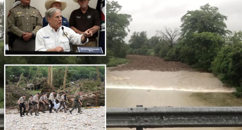
Those unusually wet conditions in the sky and extreme dry, craggy conditions on the ground created the ideal circumstances for what experts call a “flood wave” in the Guadalupe River.
A flood wave is “a rise in streamflow to a crest and its subsequent recession caused by precipitation, snowmelt, dam failure, or reservoir releases,” according to the National Weather Service.
A video posted to Facebook shows the flood wave completely engulf the Guadalupe River in Center Point, Texas, with waters rapidly rising and even sending a house crashing into a bridge.
“It’s literally a situation that’s unique to a flash flood area,” a forecaster for NBC News said.
Even without Barry, the region being so close to the Gulf of America means it get “very high rainfall rates” in the summer months, said Gerard.
“The Gulf is warmer than normal and disturbances moving through that flow can focus thunderstorm activity on a particular area,” he said.
With Post wires


