

Tropical Storm Chantal has intensified as it nears the southeastern U.S. coast, with expectations to unleash heavy rain on parts of the Carolinas by Sunday.
Tropical storm warnings were issued for portions of the two states, the National Hurricane Center in Miami said.
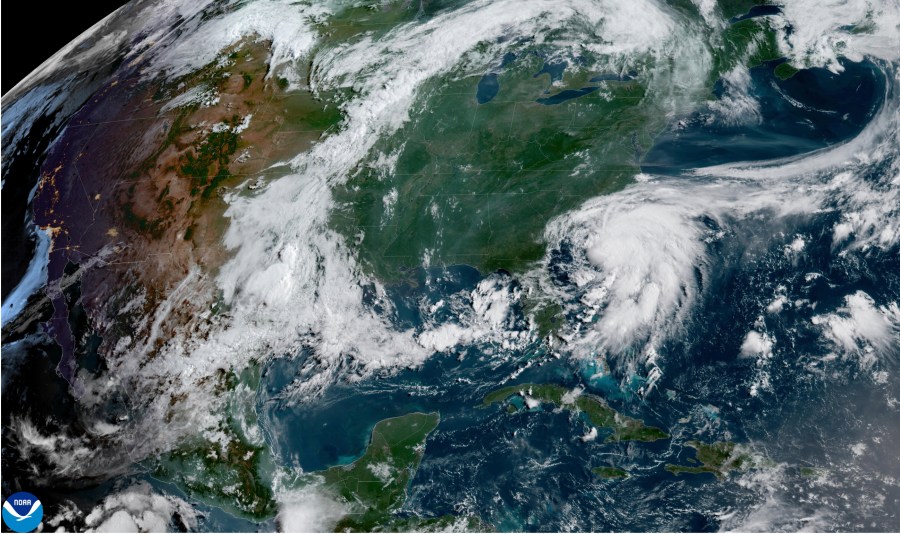
As of early Sunday, the storm was positioned roughly 75 miles (120 kilometers) east of Charleston, South Carolina, and 85 miles (136 kilometers) southwest of Wilmington, North Carolina. It boasts maximum sustained winds of 60 mph (96 kph) and is advancing northward at a speed of 8 mph (13 kph).
Rain bands from Chantal were moving onshore, the hurricane center said, with flash floods an increasing concern.
The storm was expected to make landfall in South Carolina in the next few hours and weaken rapidly as it continues over land.
Forecasts predict heavy downpours for areas of North Carolina through Monday, with total rainfall amounts ranging from 2 to 4 inches (5 to 10 centimeters), and isolated areas potentially receiving up to 6 inches (15 centimeters), which may result in flash flooding.
South Carolina’s Emergency Management division had warned residents earlier of the possibility of isolated tornadoes along the coast and of minor coastal flooding.
It also warned drivers not to venture on water-covered roads or around road-closure signs where flooding occurred.


