
SAVANNAH, Ga. () — Monday will again be a Weather Aware day due to dangerous heat expected across the Coastal Empire & Lowcountry.
Temperatures climbed into the upper 90s throughout much of the region, with some coastal areas experiencing heat indices surpassing 110°F.
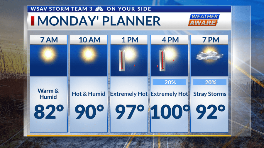
Temperatures tonight will struggle to fall below 80° and it will feel like the 90s shortly after sunrise.

Regarding heat alerts, an Extreme Heat Warning continues for all of Beaufort, Jasper, and Chatham County, as well as coastal parts of Bryan, Liberty, and Chatham County, lasting until 8 PM Monday.
A Heat Advisory applies to the rest of the region until 8 PM Monday, except for Montgomery and Toombs counties, where the advisory will end tonight at 8 PM.
Montgomery County will have an Extreme Heat Warning go into effect between 11 AM and 9 PM Monday, while Toombs County has a Heat Advisory in effect at the same time.


Actual temperatures will again make a run at the century mark for a lot of the area Monday. The humidity will go up another notch and bring heat indices above 110°, with some spots near the coast recording 115° heat indices.
Try to prioritize time in a well-cooled place indoors. If you need to be outside, stay well-hydrated and wear loose-fitting, lightweight, reflective clothing. Remember the signs of heat illness for yourself and others.
There is the chance of stray storms Monday but the focus will be the heat. As the heat dome breaks down, the heat will return closer to average and typical storm chances return Tuesday through the end of the week.
As is typical with our summer storms, expect the potential for localized flooding from heavy rainfall


A cold front will move into the region by the end of the week. While we are fairly far out to nail down specific timing and details, a milder airmass is in sight with some relief from the dog days of summer.