Share this @internewscast.com
Hurricane Erin has rapidly intensified into a devastating Category-5 storm, moving westward across the Atlantic and prompting warnings of perilous water conditions along the East Coast.
The hurricane, with sustained winds of 160 mph, is not expected to make landfall in the United States. However, heavy rainfall and hazardous water conditions are anticipated.
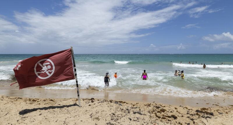
The storm’s swells are projected to generate ‘life-threatening surf and rip currents’ along the East Coast, as well as in the northern Leeward Islands, the Virgin Islands, Puerto Rico, Hispaniola, the Turks and Caicos Islands, the Bahamas, and Bermuda.
Depending on Erin’s size and strength, waves could reach 30 feet or more, meteorologists warned.
‘Families planning late-summer vacations to U.S. Atlantic beaches next week must exercise extreme caution when entering the water,’ cautioned AccuWeather lead hurricane expert Alex DaSilva.
‘Over 50 individuals have already succumbed to rip currents and treacherous surf at various beaches nationwide this year, even without a major hurricane in proximity.’
Erin was upgraded to a Category-5 from a Category-3 storm on Friday evening. A Category-5 storm consists of winds above 157mph.
‘Erin is expected to expand significantly by the middle of next week, potentially doubling or tripling in size, which will lead to turbulent ocean conditions in the Western Atlantic,’ reported the National Hurricane Center.

Hurricane Erin has quickly whipped into a catastrophic Category-5 monster storm travelling west across the Atlantic

Swells from the hurricane are expected to cause ‘life-threatening surf and rip currents’ on the East Coast

The hurricane formed on August 15, becoming the first of the Atlantic season after four tropical storms
‘On the forecast track, the center of Erin is expected to move just north of the northern Leeward Islands, the Virgin Islands, and Puerto Rico over the weekend,’ the hurricane center said.
Outer bands of the storm are expected to produce heavy rainfall until Sunday, with around two to four inches of rainfall. In some areas, around six inches is expected.
‘Locally considerable flash and urban flooding, along with landslides or mudslides, are possible,’ according to the NHC.
Hurricane Erin is expected to continue to strengthen, curving toward the East Coast and Bermuda.
‘Fluctuations in intensity are expected for the rest of the weekend,’ the hurricane center said.
AccuWeather warned that the worst-case scenario would see Erin guided directly onshore, ‘packing high winds, flooding rain and storm surge flooding.’
Meteorologist Max Schuster shared on X that while the odds of a US landfall are low, ‘it cannot be ruled out still.’
The hurricane formed on August 15, becoming the first of the Atlantic season after four tropical storms.

Outer bands of the storm are expected to produce heavy rainfall until Sunday, with around two to four inches of rainfall. In some areas, around six inches is expected
Erin was named a tropical storm on Monday when heavy rain brought on major flooding in the Cabo Verde islands and resulted in multiple deaths.
The season runs from June to November, with the peak of the Atlantic season hitting in September.
The National Oceanic and Atmospheric Administration (NOAA) said in May that they were predicting an ‘above average’ season that would likely result in more named storms than there were in 2024, when 18 such storms were tracked.
The National Hurricane Center noted that approximately 400 people died during 2024’s hurricane season, the deadliest season since 2005.
Ken Graham, the director of NOAA’s National Weather Service, said: ‘We’ve got to convince people of the danger.’
‘Every Category 5 [hurricane] that has ever hit this country was a tropical storm or less three days prior,’ Graham warned.
Graham urged people to begin stocking up on emergency supplies, including gas and other essentials, before long lines form during an actual emergency.


