

MIAMI – A more robust and expansive Hurricane Erin battered parts of the Caribbean and was projected to generate hazardous surf and rip currents along the U.S. East Coast this week.
By late Sunday, it had intensified back into a Category 4 storm with maximum sustained winds of 130 mph (215 kph), as its outer bands struck the Virgin Islands and Puerto Rico, according to the U.S. National Hurricane Center in Miami. Erin was expected to cause tropical storm conditions in the Turks and Caicos Islands and the southeastern Bahamas overnight and into Monday.
It was anticipated that Erin would strengthen further on Monday before gradually weakening, although it was predicted to remain a significant hurricane through midweek.
Hurricane-force winds extended to 60 miles (95 kilometers) from its center, with tropical-storm-force winds reaching outward up to 230 miles (370 km). The area affected by strong winds was expected to expand over the forthcoming days. Despite not being predicted to make direct landfall, Erin will impact coastal regions.
Dare County, North Carolina, declared a state of emergency, ordering the evacuation of Hatteras Island on the Outer Banks beginning Monday. This narrow, precarious strip of barrier islands extends far into the Atlantic, and several days of heavy surf, intense winds, and high waves might erode sections of N.C. Highway 12 that run along the islands, as noted by the National Weather Service.
As of late Sunday, Erin was located approximately 130 miles (205 kilometers) east-northeast of Grand Turk Island and around 965 miles (1,555 kilometers) south-southeast of Cape Hatteras, North Carolina, moving northwest at 12 mph (19 kph).
Erin, the year’s first Atlantic hurricane, reached an exceedingly dangerous Category 5 status Saturday with 160 mph (260 kph) winds before weakening. It is expected to remain powerful for the next several days and grow in size.
“You’re dealing with a major hurricane. The intensity is fluctuating. It’s a dangerous hurricane in any event,” said Richard Pasch of the National Hurricane Center.
Erin’s outer bands pelted parts of Puerto Rico and the Virgin Islands with heavy rains and tropical-storm winds during the day Sunday.
That knocked out power to about 147,000 customers, according to Luma Energy, a private company that oversees the transmission and distribution of power on the island. More than 20 flights were canceled due to the weather. The Coast Guard allowed all ports in Puerto Rico and the U.S. Virgin Islands to reopen Sunday as winds and rains decreased.
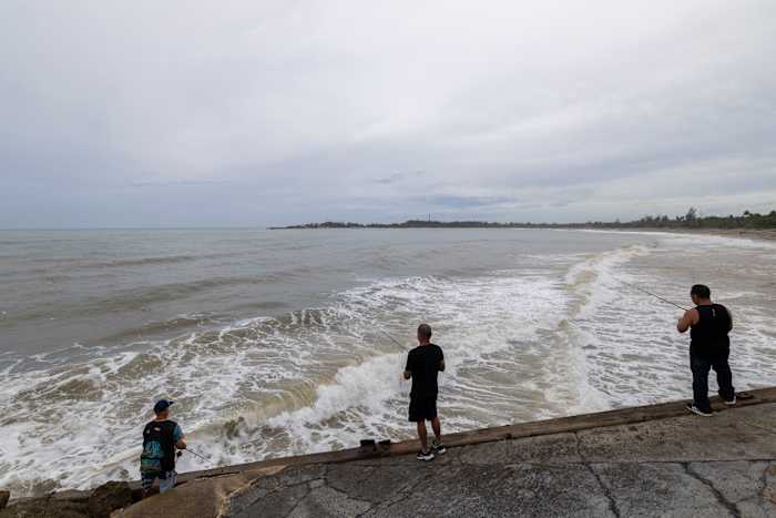
Rough ocean conditions were forecast for parts of the Virgin Islands, Puerto Rico, Hispaniola and the Turks and Caicos the next couple of days. Life-threatening surf and rip currents were forecast into midweek for the Bahamas, Bermuda, the U.S. East Coast and Canada’s Atlantic coast as Erin turns north and then northeast.
Scientists have linked the rapid intensification of hurricanes in the Atlantic to climate change. Global warming is causing the atmosphere to hold more water vapor and is spiking ocean temperatures, and warmer waters give hurricanes fuel to unleash more rain and strengthen more quickly.
Copyright 2025 The Associated Press. All rights reserved. This material may not be published, broadcast, rewritten or redistributed without permission.