

MIAMI (AP) — Hurricane Erin intensified to a larger and stronger storm as it battered parts of the Caribbean, with predictions of dangerous surf and rip currents for the U.S. East Coast this week.
The storm surged to a Category 4 hurricane, boasting maximum sustained winds of 130 mph (215 kph) late Sunday, with its outer bands affecting the Virgin Islands and Puerto Rico, as stated by the U.S. National Hurricane Center in Miami. Tropical storm conditions were expected in the Turks and Caicos Islands and the southeast Bahamas from Sunday night into Monday.
While additional strengthening was anticipated for Monday, Erin was projected to gradually weaken thereafter but maintain its status as a significant hurricane through midweek.
Hurricane-force winds expanded up to 60 miles (95 kilometers) from the center, with tropical-storm-force winds stretching outward up to 230 miles (370 km). The area influenced by strong winds is expected to widen over the coming days. Erin’s size will continue to impact coastal regions despite it not being projected to directly hit land.
Authorities in Dare County, North Carolina, declared a state of emergency and mandated the evacuation of Hatteras Island on the Outer Banks beginning Monday. This region, a slender band of barrier islands extending into the Atlantic, could see parts of N.C. Highway 12 being washed out due to persistent heavy surf and strong winds, as warned by the National Weather Service.
By late Sunday, Erin was located approximately 130 miles (205 kilometers) east-northeast of Grand Turk Island and about 965 miles (1,555 kilometers) south-southeast of Cape Hatteras, North Carolina. The hurricane was advancing northwest at a speed of 12 mph (19 kph).
Erin, the year’s first Atlantic hurricane, reached an exceedingly dangerous Category 5 status Saturday with 160 mph (260 kph) winds before weakening. It is expected to remain powerful for the next several days and grow in size.
“You’re dealing with a major hurricane. The intensity is fluctuating. It’s a dangerous hurricane in any event,” said Richard Pasch of the National Hurricane Center.
Erin’s outer bands pelted parts of Puerto Rico and the Virgin Islands with heavy rains and tropical-storm winds during the day Sunday.
That knocked out power to about 147,000 customers, according to Luma Energy, a private company that oversees the transmission and distribution of power on the island. More than 20 flights were canceled due to the weather. The Coast Guard allowed all ports in Puerto Rico and the U.S. Virgin Islands to reopen Sunday as winds and rains decreased.
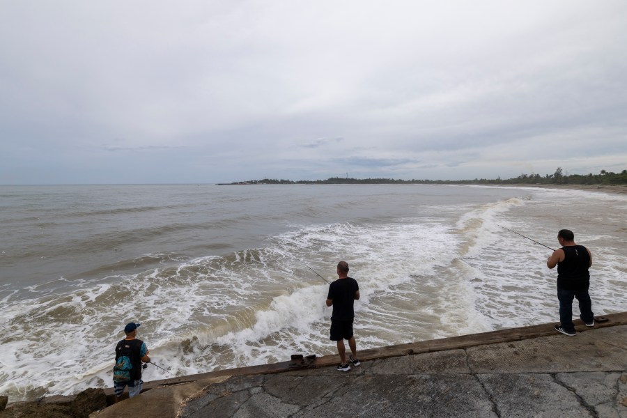
Rough ocean conditions were forecast for parts of the Virgin Islands, Puerto Rico, Hispaniola and the Turks and Caicos the next couple of days. Life-threatening surf and rip currents were forecast into midweek for the Bahamas, Bermuda, the U.S. East Coast and Canada’s Atlantic coast as Erin turns north and then northeast.
Scientists have linked the rapid intensification of hurricanes in the Atlantic to climate change. Global warming is causing the atmosphere to hold more water vapor and is spiking ocean temperatures, and warmer waters give hurricanes fuel to unleash more rain and strengthen more quickly.


