
ORLANDO, Fla. – Dangerous beach and marine conditions continue Wednesday, even though Hurricane Erin is remains well off Florida.
Rough surf, large breaking waves up to 10 feet and a high risk of life-threatening rip currents make adventuring into the water extremely dangerous.
Swells from Erin, which will be about 400 miles off the Florida coast, are strong, and minor beach erosion is also possible around high tide.
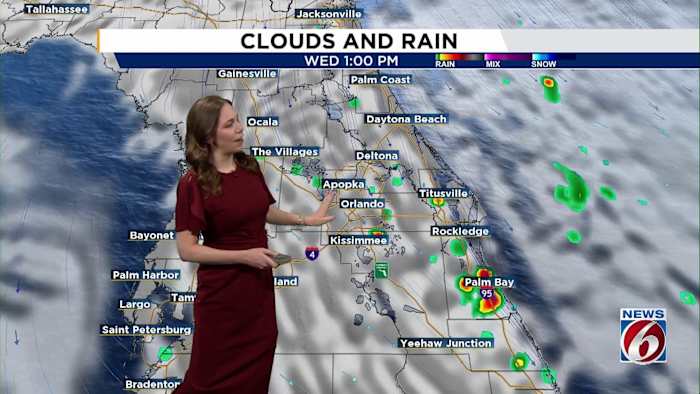
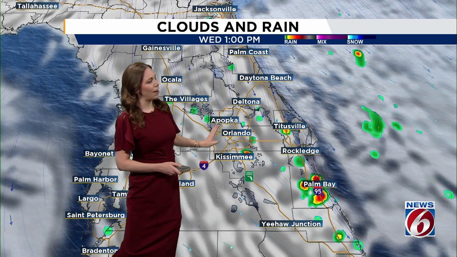
WEDNESDAY
Expect predominantly dry weather as a result of dry air circulating around the western side of Erin. There may be a few scattered showers near the coast during the morning, and some could develop inland as the day progresses. However, these showers should remain relatively mild with minimal lightning activity.
Winds will shift from the north-northeast, with gusts reaching up to 25 mph along the coast.
Temperatures will climb into the low 90s near the beaches and the low to mid-90s inland.
LATE WEEK
As Hurricane Erin pulls way, moisture will increase again, boosting afternoon storm chances to 60%. While upper-level support remains limited, surface conditions could still trigger isolated strong storms with frequent lightning and gusts up to 50 mph.
Beachgoers beware: even as the swell starts to ease, dangerous rip currents and rough surf will stick around. Swells and waves will gradually decrease by Friday.
WEEKEND
An area of low pressure will move toward the Southeast U.S., increasing moisture and rain chances. Expect the afternoon and evening to become a bit more active with rain chances at 70%.
Copyright 2025 by WKMG ClickOrlando – All rights reserved.


