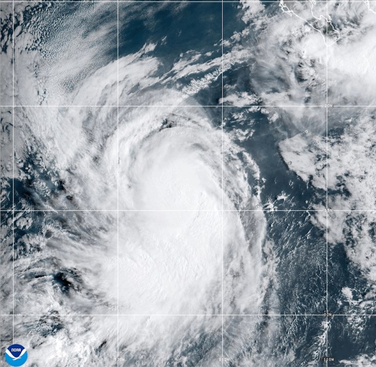


MIAMI (AP) — Intense tropical weather conditions developed in the Atlantic Ocean on Saturday as Humberto strengthened into a formidable Category 4 hurricane, while another weather system targeted the Southeast U.S.
Hurricane Humberto’s maximum sustained winds reached 145 mph (230 kph) Saturday, as noted in the National Hurricane Center’s latest update from Miami. The storm was positioned roughly 375 miles (605 kilometers) northeast of the northern Leeward Islands, and was progressing westward at 6 mph (9 kph).
Forecasters warned that Humberto could generate life-threatening waves and rip currents affecting the northern Leeward Islands, the Virgin Islands, Puerto Rico, and Bermuda over the weekend.
Simultaneously, another weather system poised to evolve into a tropical storm over the weekend posed a threat to parts of the Bahamas and Cuba with substantial rainfall and potential flash flooding. The Bahamas were under a tropical storm warning on Saturday.
This same system was expected to approach the Southeast U.S. early in the coming week. Predictions indicated gradual intensification into a tropical storm by Sunday, with potential escalation to hurricane status by late Monday.
South Carolina’s Governor Henry McMaster declared a state of emergency concerning the impending storm on Friday evening. Despite uncertainties, this action was to ensure statewide preparedness. The declaration facilitates state emergency agencies’ coordination with local and federal bodies and ensures that residents will be eligible for federal assistance.
On Friday, crews in Charleston, South Carolina, were getting sandbags together, checking high water vehicles and preparing pumps to get any floodwater out of the city.
“Even though this has not formed yet, we are treating it as if we are expecting some kind of impact. That’s critical. We don’t want to downplay the scenario,” Chief Fire Marshal Michael Julazadeh said at an emergency Charleston City Council meeting.
The tropical disturbance has already brought heavy rains in the Dominican Republic on Friday, leading authorities to evacuate hundreds of people and declare a red alert in five provinces. Flooding of rivers, streams, and ravines left dozens of communities cut off by landslides and fallen bridges, including one that collapsed while a truck was crossing, killing the driver in the community of Yamasá.
Flooding in the southwestern province of Azua, one of the areas most affected by the rains, displaced at least 774 people, and 26 were being sheltered due to the overflowing of the Tábara River, Civil Defense spokesman Jensen Sánchez told The Associated Press.
The Federal Emergency Management Agency urged residents of coastal areas in the Southeast U.S. on Thursday to pay attention as that weather system continues to develop, saying its staff “is ready to respond swiftly, if needed.”
In the eastern Atlantic, the center of post-tropical cyclone Gabrielle moved away from the Azores. A hurricane warning for the entire Portuguese archipelago was discontinued.
Some strengthening was forecast through Friday night, with weakening expected over the weekend, and Gabrielle was expected to approach the Portugal’s coast by early Sunday. Swells expected to produce life-threatening surf and rip currents were expected to reach Portugal, northwestern Spain and northern Morocco on Saturday.
In the Pacific Ocean, Hurricane Narda was churning about 1,025 miles (1,650 kilometers) west-southwest of the southern tip of Baja California and heading west-northwest at 12 mph (19 kph). The Category 1 storm was expected to maintain its strength on Friday before weakening over the weekend.
Swells generated by Narda were affecting coastal Mexico and Baja California Sur, forecasters said. The swells that could bring life-threatening surf and rip current conditions were expected to reach southern California over the weekend.