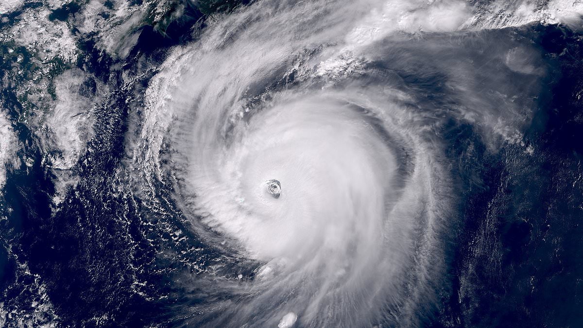

A super typhoon that skirted Japan this week is anticipated to send waves across the Pacific, potentially causing a week of turbulent weather in the western US. While Typhoon Halong spared Tokyo from a potential Category 4 hurricane, meteorologists have warned that its remnants may lead to heavy rain and snow in California by early next week. As it progresses into the North Pacific, the fast-moving jet stream is expected to absorb the typhoon’s energy, intensifying storms along its path.

This phenomenon, resulting from ‘recurving typhoons,’ can trigger far-reaching effects across the ocean. Forecasts suggested that the typhoon’s remnants could produce hurricane-force winds in Alaska’s Bering Sea this weekend, which the National Weather Service (NWS) likened to the 2022 Typhoon Merbok that caused millions in damage across the western region of Alaska. However, forecasters are particularly focused on the potential impact on the continental US.

The energy from Halong is predicted to shift a high-pressure system into Canada, pushing subarctic air into Washington, Oregon, and California by Monday. If a storm moving down the coast aligns with this cold air, Northern California could experience significant rainfall in the Bay Area and several feet of snow in the Sierra Nevada between Monday and Wednesday. Meteorologists noted that recurving typhoons reduce the accuracy of weather models, so forecasts are expected to fluctuate in the coming days.

If the storm tracks closer to the coast, the Bay Area might experience the heaviest rainfall since last winter, the San Francisco Chronicle reported. Northern California is already witnessing early signs of a shifting weather pattern. Bay Area residents might wake on Thursday to drizzle and cooler temperatures under a deep marine layer. A stalled low-pressure system off the Oregon coast could bring limited showers to the North Bay on Friday and Saturday, though areas south of the Golden Gate are likely to remain mostly dry.

Showers will be more prevalent in northern areas, including Ukiah, Eureka, and around Mount Shasta. Sunday’s forecast suggests drier conditions, with clearing skies providing a calm setting for Fleet Week events in San Francisco. The primary difference between a typhoon and a hurricane lies in the geographic location of their formation.

Both are powerful tropical cyclones with winds of 74 mph or greater. However, typhoons originate in the Northwest Pacific Ocean, while hurricanes form in the North Atlantic Ocean, the Northeast Pacific Ocean, or the Central Pacific Ocean. Warnings about the typhoon arise as Hurricane Priscilla moves north in the Pacific, placing southern California and Arizona in its ‘cone of uncertainty.’

The National Hurricane Center (NHC) uses a ‘cone of uncertainty’ to show the likely path of a hurricane like Priscilla on maps, with the cone widening to cover areas where the storm might go over the next three to five days. The latest cone revealed that the Category 2 storm’s path is expected to shift north, turning Priscilla towards land on Thursday. Spaghetti models revealed that Priscilla will likely barrel over Mexico and reach as far inland as Southern California and Arizona before it begins to break up.

Several other states in the Southwest, including New Mexico, Colorado, Utah, and Nevada, have been warned to expect thunderstorms and flash floods due to the moisture being pulled inland from Priscilla starting tomorrow and lasting through Sunday. Parts of Arizona, New Mexico, Colorado, and Utah could see up to four inches of rain between Thursday afternoon and Saturday night.

AccuWeather lead hurricane expert Alex DaSilva noted that Priscilla’s impact on Arizona could be particularly severe on Thursday night, with heavy rain and flooding forecasted throughout the state. The intense downpours could end up doubling the 1.5 inches of rainfall that places like Flagstaff, Arizona, typically get during an average October.