Share this @internewscast.com
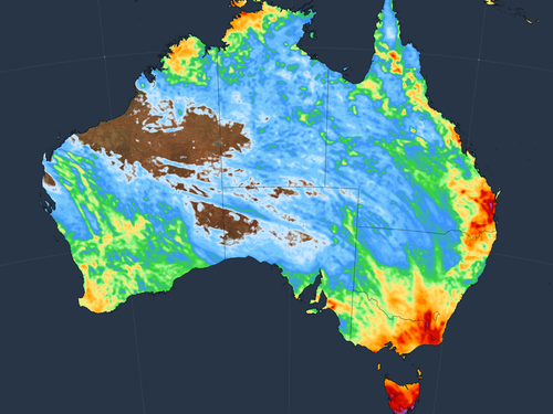
Australia’s south-east is bracing for a day of showers and storms, marking the start of an extended period of turbulent weather.
The Bureau of Meteorology has predicted scattered showers and thunderstorms across northern and eastern Queensland today, with additional storm activity anticipated in the south-west regions.
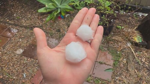
There is potential for damaging winds and hail, particularly in the south-east of the state.

Brisbane is likely to experience showers and the possibility of a severe storm later in the afternoon or evening.
In New South Wales, storms originating in the west are expected to move towards the state’s central and eastern areas, becoming more prevalent in the south.
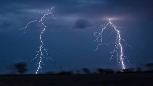
“There’s a risk of severe thunderstorms throughout the north-east, bringing damaging winds and large hail,” noted Sarah Scully, a meteorologist from the Bureau.
“Daytime temperatures will be near average along the coast but up to eight degrees above average in the far west.”
Sydney will see “a shower or two” and a possible storm later in the day.
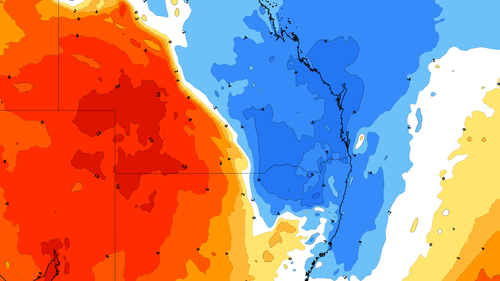
Victoria is in for a soaking as western showers expand to cover the state, with potential thunderstorms in the west and central regions.
The weekend will see storm activity increase, the weather reporting website warned.
“Saturday’s storms will be most active between central eastern Queensland and central NSW, which could include both Brisbane and Sydney,” Weatherzone’s Ben Domensino wrote.
“Supercell thunderstorms are possible on Saturday, and isolated tornadoes can’t be ruled out.”
The blustery, stormy weather is set to expand to include the ACT, Victoria, Tasmania, South Australia and the Northern Territory early next week.
“Some areas of eastern Australia have a chance of seeing thunderstorms every day for the next six days, with severe storms possible each day,” Domensino wrote.
