
ORLANDO, Fla. – As we move through the weekend, residents can expect sporadic showers and thunderstorms to continue into Sunday evening. Temperatures overnight are forecasted to drop into the comfortable 60s across the region.
Exciting weather changes are on the horizon as a cold front is set to make its way across east-central Florida on Monday. Early risers in the northern areas will notice the front’s arrival by sunrise, with it moving out of the region by the early evening.
As the day progresses, the winds will shift from the north to the northeast, picking up speed to around 10 mph by late morning. The passage of the front brings a 20–30% likelihood of showers and storms, which could become more intense. Weather experts caution that the combination of moisture and atmospheric instability may lead to stronger storms, capable of producing frequent lightning, gusty winds reaching up to 40 mph, and even small hail.
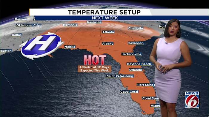
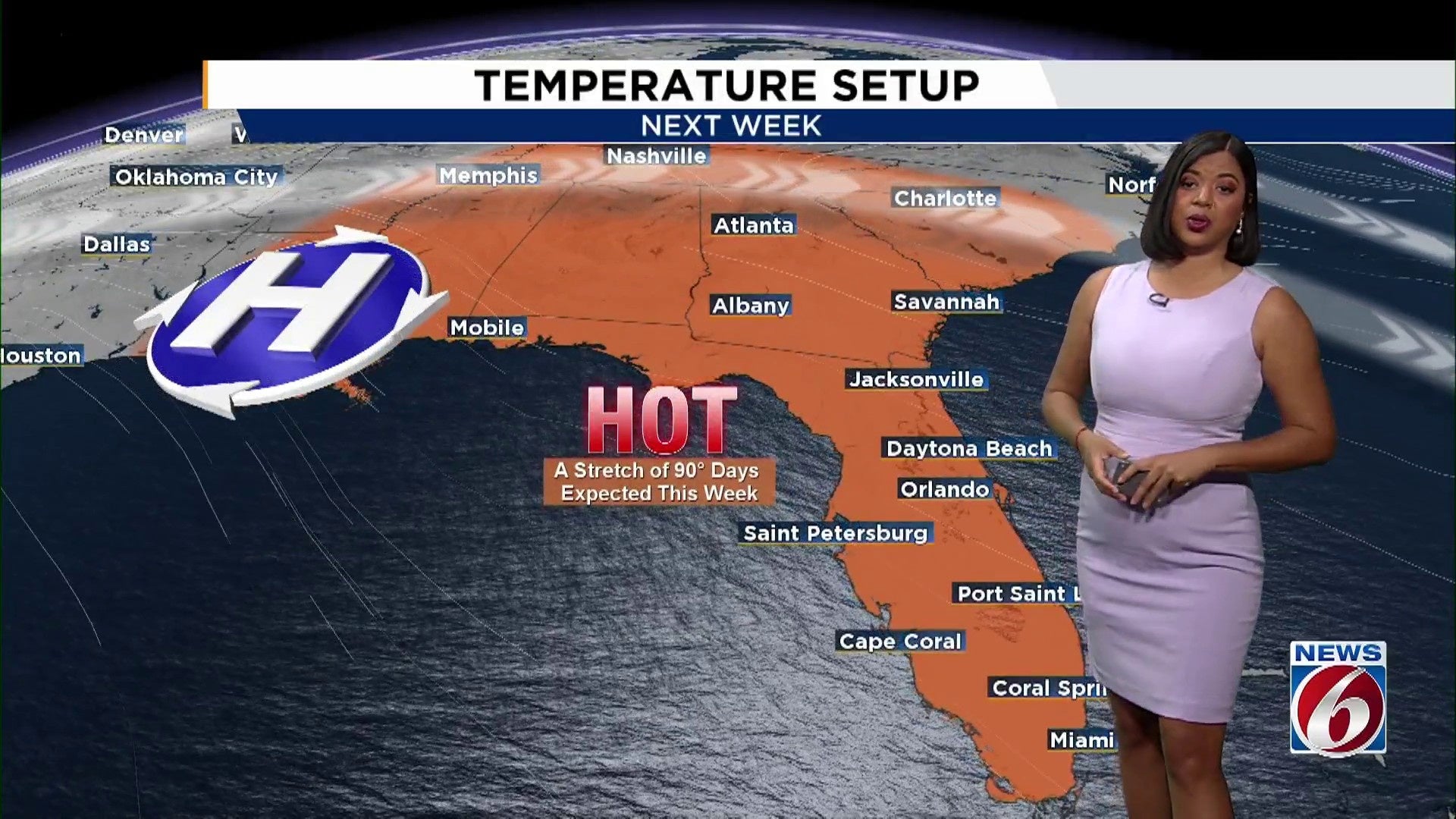
Once the front passes, the weather is expected to dry out, yet the warmth will persist through the week. Temperatures will remain high, ranging from the upper 80s to the low 90s. Looking ahead, another front might approach by Saturday, potentially ushering in slightly cooler and more seasonable temperatures by Sunday.
Copyright 2026 by WKMG ClickOrlando – All rights reserved.
Copyright 2026 by WKMG ClickOrlando – All rights reserved.