

Scattered storms possible Wednesday before drier weather returns
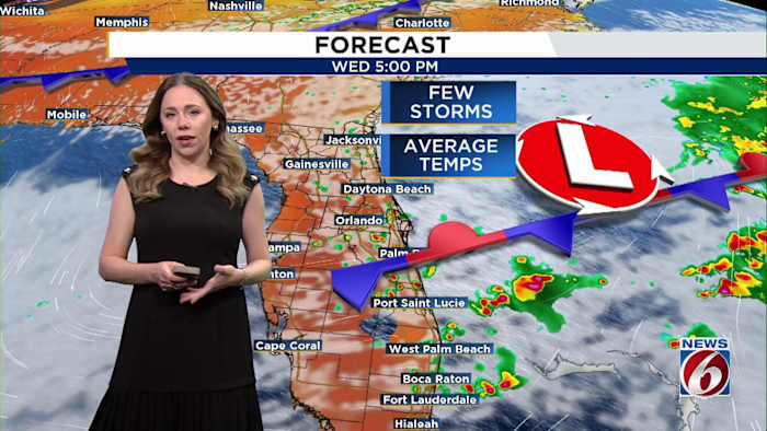
ORLANDO, Fla. – A combination of a persistent weather front and the sea breeze is set to produce scattered showers and thunderstorms across the region through Wednesday evening. Overnight temperatures are expected to remain mild, dipping into the 60s and 70s.
As we look forward to the rest of the week, the weather from Thursday into the weekend is forecasted to be warmer and drier.
On Thursday, a weak front passing through the area will maintain afternoon temperatures near seasonal norms, reaching the upper 80s. This change will also bring slightly drier air, resulting in lower humidity levels.
By Friday, high pressure is anticipated to establish itself over the state, pushing temperatures back into the 90s, a trend that is likely to persist throughout the weekend.
Beachgoers should take note that a high rip current risk is in effect until Thursday, so it’s important to exercise caution while visiting coastal areas.