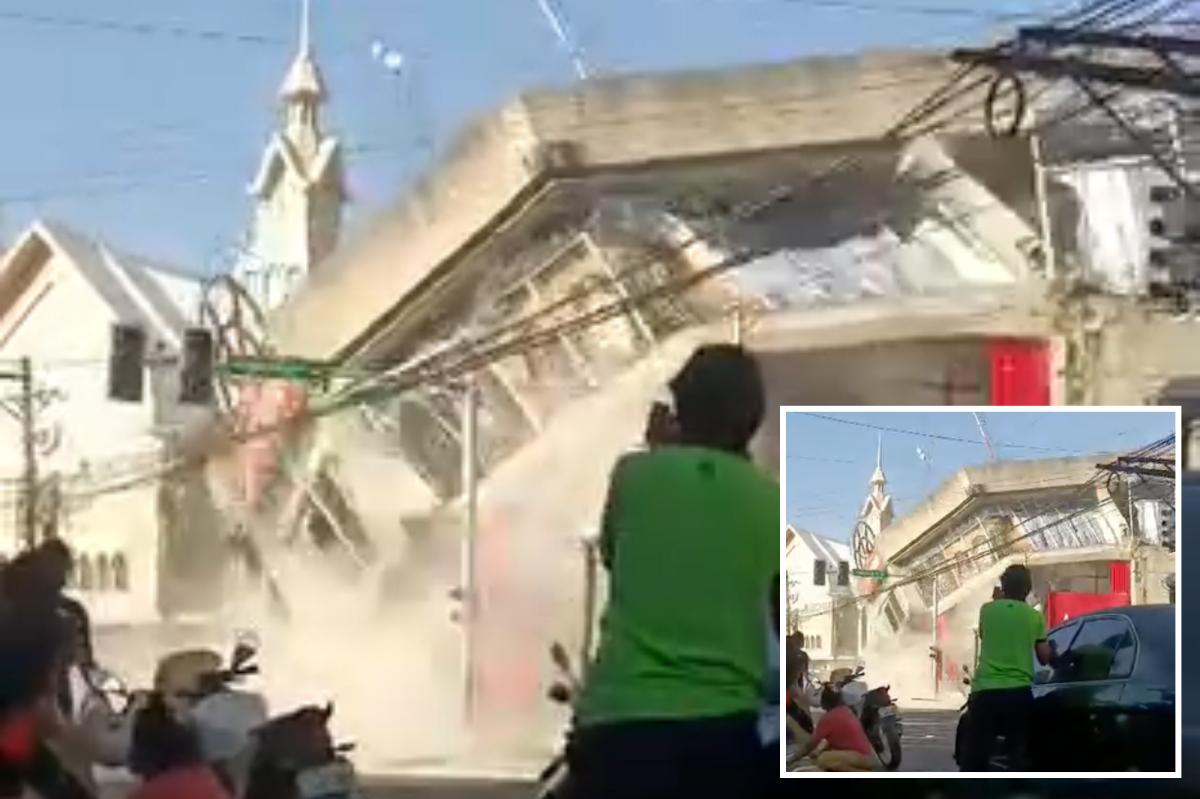

MANILA, Philippines — A powerful earthquake with a magnitude of 7.8 rattled the southern Philippines early Monday, prompting concerns about potential tsunamis along regional coastlines.
The tremor resulted in power outages, and authorities swiftly advised residents to seek refuge on higher ground. As of now, details regarding damage or casualties remain scarce.
The Philippine Institute of Volcanology and Seismology pinpointed the quake’s epicenter 13 kilometers (8 miles) southwest of General Santos City on Mindanao Island at a shallow depth of 10 kilometers (6.2 miles). The earthquake struck at 7:37 a.m.
The Pacific Tsunami Warning Center (PTWC) warned that tsunami waves as high as 3 meters (10 feet) could potentially affect some parts of the Philippines. Additionally, waves reaching up to 1 meter (3 feet) might impact certain coastal areas in Indonesia and Malaysia.
Teresito Bacolcol, the head of the Philippine Institute, urged residents in coastal zones to evacuate to higher elevations or move further inland to ensure safety.

The PTWC also indicated the possibility of smaller tsunami waves affecting Taiwan, Japan, Guam, Papua New Guinea, and several islands and territories in the western Pacific. However, there is no anticipated threat to Hawaii or the mainland United States.
Residents felt the earthquake tremors in Indonesia’s North Sulawesi and North Maluku provinces.
Aftershocks up to 6.1 magnitude followed, the U.S. Geological Survey said. It measured the original quake at 55 kilometers (34 miles) deep. Variations in measurements by different agencies are common in the immediate aftermath of an earthquake.
The Philippines, one of the world’s most disaster-prone countries, is often hit by earthquakes and volcanic eruptions due to its location on the Pacific “Ring of Fire,” an arc of seismic faults around the ocean. The archipelago is also lashed by about 20 typhoons and tropical storms each year.