A strengthening Pacific hurricane is expected to push unusually humid weather toward Southern California, raising concerns about heavy rain and flooding.
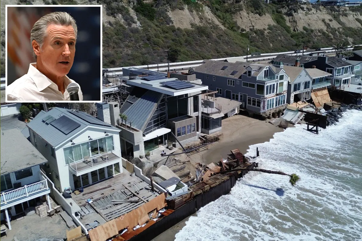
The development comes just weeks after Hurricane Marie brought coastal flooding and unusually high tides to the state. Tropical Storm Polo intensified into Hurricane Polo on Monday afternoon.
“POLO CONTINUES TO INTENSIFY AND IS EXPECTED TO BECOME A MAJOR HURRICANE ON TUESDAY,” the National Hurricane Center (NWC) said.
Polo could produce intense rainfall capable of triggering major floods and landslides across the region. Although the storm is forecast to remain offshore, its moisture could lead to flood warnings in New Mexico beginning Tuesday.
Southern California is not expected to feel the hurricane’s effects until the end of the weekend at the earliest, according to an NWC meteorologist quoted by the LA Times.
Polo is currently a Category 1 hurricane, but forecasters expect it to strengthen rapidly, potentially reaching Category 5 intensity with winds of 160 mph by late Tuesday.
The storm is positioned in the North Pacific Ocean, off the southwestern coast of Mexico.
The forecast comes as Gov. Gavin Newsom declared a state of emergency Monday ahead of winter storms and amid what officials describe as a historic El Niño season.
“The Governor’s action puts California in a stronger position before winter weather intensifies. It directs state agencies to begin protecting vulnerable communities, prepare roads and critical infrastructure, stage emergency supplies, and help local partners reduce flood, landslide and coastal risks,” the emergency notice reads.
Two other tropical storms also formed in the Atlantic and Pacific over the weekend. Tropical Storms Fay and Odalys are being monitored, though forecasters expect both to have less impact than Polo.
Polo is the 16th named storm to develop in the Eastern Pacific this year.
Download The California Post App, follow us on social, and subscribe to our newsletters