
Share this @internewscast.com
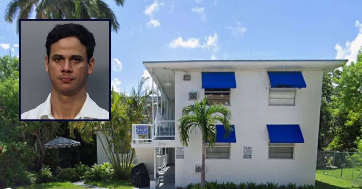
Inset: Saady Castellanos Triminio (Miami-Dade Corrections). Background: The 7800 block of NE Bayshore Court in Miami where Castellanos Triminio allegedly imprisoned a woman (Google Maps).
A man in Florida has been taken into custody after allegedly detaining a woman during a date that quickly went awry.
Saady Castellanos Triminio, aged 34, is facing multiple charges, including robbery, child neglect, false imprisonment, and battery by strangulation. According to a Miami police arrest affidavit, the woman reported meeting Castellanos Triminio through a dating app in early February. Following several phone conversations, she decided to take a lengthy train trip from Orlando to Miami on a Friday, accompanied by her 3-year-old daughter.
Upon their arrival in Miami, Castellanos Triminio picked them up from the train station with plans to dine out. Contrary to this plan, he ordered pizza and brought them back to his apartment located on the 7800 block of NE Bayshore Court, as detailed in the affidavit. Once inside the apartment, the woman began to feel uneasy due to its condition.
“She noticed the absence of toilet paper in the bathroom and described the apartment as generally unclean,” the police report noted.
Despite her discomfort, she stayed and conversed with Castellanos Triminio. However, when he requested a hug and a kiss, she declined, stating that they were only friends. She expressed her desire to leave and began gathering her belongings.
“At that moment, the suspect became agitated and insisted she couldn’t leave, claiming it was too dangerous outside,” the affidavit explained. “He then forcibly restrained her by bear-hugging and physically blocking her from departing the room.”
The victim grabbed her phone and began texting a friend that she was in trouble. Castellanos Triminio allegedly snatched her phone, which prompted the victim to start screaming. In response, he covered her mouth and nose with his hand which prevented her from yelling, cops said. She also couldn”t breathe.
She was able to get away and go into a locked room with her daughter and called her friend, per the affidavit. The friend called 911 and police showed up at the apartment. Cops told the friend to have the victim make noise to let them know she was inside. Castellanos Triminio apparently opened the door and cops rescued the victim shortly before 3 a.m. Saturday.
Officers noted she had bruises on both of her arms, though she was not in need of medical attention. They took Castellanos Triminio into custody for an interview.
After receiving his Miranda rights, the defendant allegedly “admitted to the incident in its entirety.” He said he prevented her from leaving because he felt it was too dangerous, according to the complaint. He also allegedly admitted to covering her mouth and nose with his hand, saying he didn’t want to alert neighbors.
Castellanos Triminio remains at the Miami-Dade County jail without a bond. He also has an immigration hold, records show.