
Share this @internewscast.com
ORLANDO, Fla. – A significant weather system is developing nationwide, and while Central Florida will largely avoid its direct impact, its influence will be felt by early next week.
THURSDAY & FRIDAY
High pressure will dominate, ensuring mostly dry and warm conditions throughout Central Florida. Temperatures are expected to soar into the 70s and low 80s. While a few isolated showers might appear along the coast, the majority of the region will enjoy rain-free weather.
[VIDEO BELOW: How Florida’s freeze can be beneficial in three ways]
WEEKEND
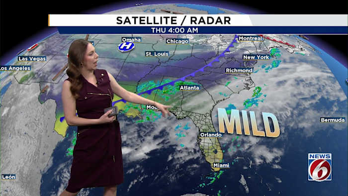
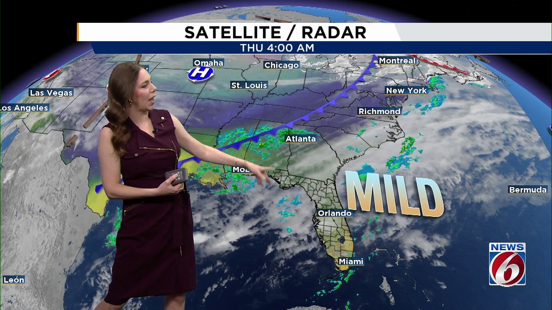
As a robust winter storm path extends from Texas to the Carolinas and beyond, Central Florida will experience its warmer side. Temperatures across the region are set to reach the upper 70s and low 80s over the weekend, with Sunday potentially bringing record highs in some areas.
NEXT FRONT
By late Sunday into Monday, attention turns to a strong and potentially disruptive winter storm expected to impact parts of the Deep South, Ohio Valley and Mid-Atlantic.
This system could end up being the strongest winter storm of the season for some areas north of Florida, bringing snow, ice and travel impacts.
[VIDEO BELOW: Get most out of FREE News 6 Weather App]
For Central Florida, the bulk of the storm’s energy stays well to our north. However, the cold front tied to this system is forecast to slide south through on Monday, bringing a 30-40% chance of rain.
NEXT WEEK
Cooler and drier air settles in Monday night and Tuesday, with a noticeable drop in temperatures compared to the weekend warmth.
Inland areas could see lows dipping into the 40s by early Tuesday and Wednesday.
Additional fronts later next week may reinforce cooler air, though details remain uncertain.
Copyright 2026 by WKMG ClickOrlando – All rights reserved.