
Share this @internewscast.com
ORLANDO, Fla. – Central Florida is gearing up for a temperature rise, but locals should brace themselves for a shift in weather as rain is expected to make an appearance by the weekend’s end.
THURSDAY
The day began under a blanket of dense fog and low clouds, leading to reduced visibility that slowed down the morning commute across the region. As the day unfolds, residents can expect mostly cloudy conditions, largely influenced by a weak front hovering over the area.
With the cloud cover comes a minimal 20-30% chance of light showers, especially during the afternoon and early evening hours. Temperatures are predicted to reach the mid- to low 70s, offering a mild respite amid the cloudiness.
As night falls, there’s a possibility of patchy fog forming again, potentially affecting early Friday morning routines.
[VIDEO BELOW: Elon Musk-owned company tapped to tunnel Universal]
FRIDAY & SATURDAY
Friday and Saturday remain fairly quiet as the weakening front lingers across Central Florida.
Highs both days will range from the upper 70s to near 80 degrees.
[VIDEO BELOW: Birding growing as a hobby]
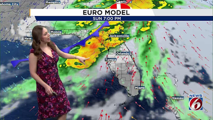
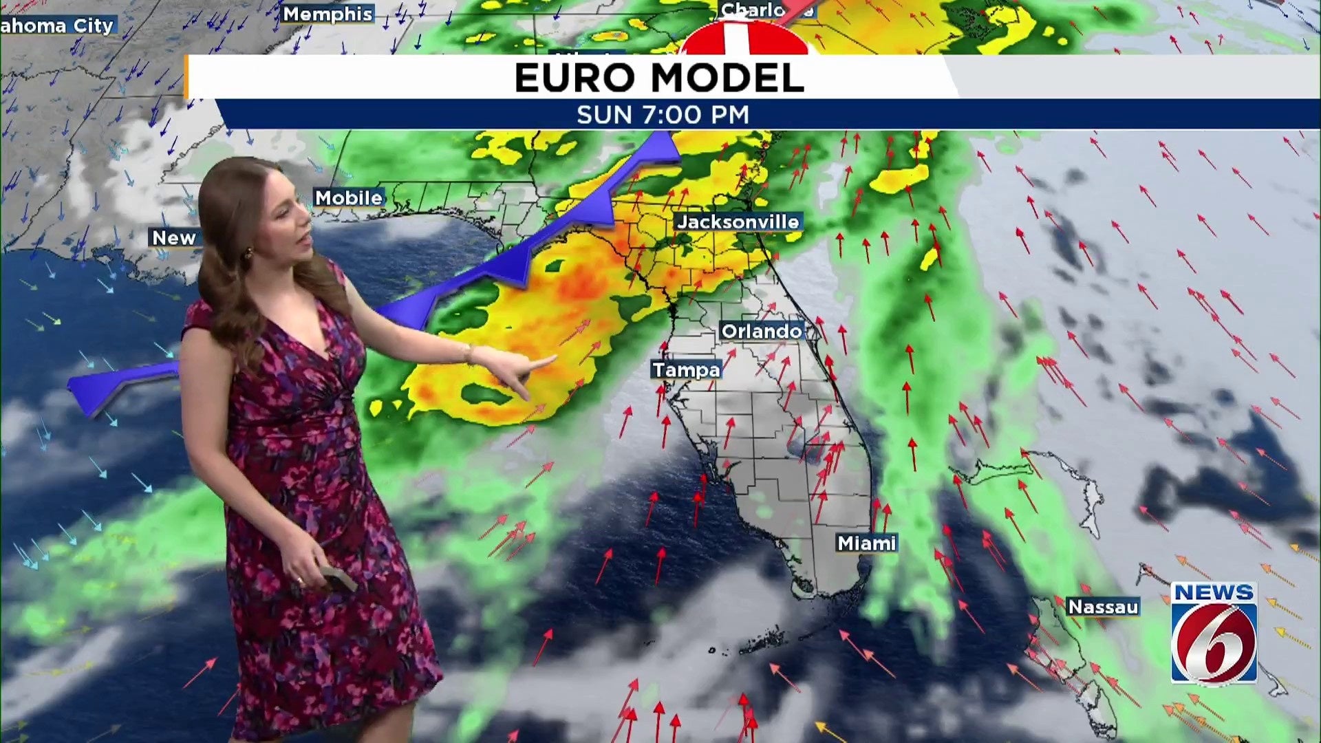
SUNDAY & MONDAY
Attention then turns to Sunday into Monday, when a stronger cold front approaches. Rain chances increase Sunday afternoon, becoming more widespread Sunday night, with a 50-60% chance of scattered showers and a few storms.
Breezy and gusty southerly winds will develop ahead of the front Sunday before shifting northwest to north behind it Monday and Tuesday.
Highs settle back into the 70s early next week, with overnight lows in the 50s to low 60s, before another gradual warmup by midweek.
Copyright 2026 by WKMG ClickOrlando – All rights reserved.