
Share this @internewscast.com
ORLANDO, Fla. – High pressure over Central Florida gives us another dry, mostly sunny day to begin the week.
Temperatures will hover in the 60s to low 70s along the coast early on, warming into the low to mid-80s, under mostly clear skies.
Winds from the north will shift toward the northeast by the afternoon and may gust past 15 mph near the shore.
[VIDEO BELOW: Has dry season begun in Florida?]
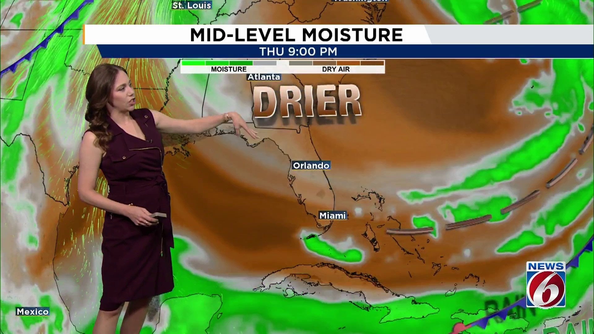
The majority of the week is expected to stay largely dry until a weak cold front comes on Thursday. This front might carry slight moisture, resulting in a few scattered showers along the coastline.
Temperature trends stay nice, with daytime highs in the low to mid-80s and overnight lows in the 60s to low 70s.
Beach & River Forecast
Even as the sun shines, rip currents pose a high risk up and down the Atlantic beaches.
Further inland, the St. Johns River at Astor is anticipated to persist at a moderate flood level throughout the week. Upstream areas like Deland, Sanford, and Geneva are currently experiencing action stage conditions.
[VIDEO BELOW: Brevard beaches battered by recent hurricane swells]
Weekend
We expect mostly dry conditions through the weekend, with onshore winds Friday and Saturday.
Sunday may warm up a bit more as southerly winds strengthen.
A new cold front is projected to approach north Florida by Monday, bringing a 20-30% chance of rain Sunday night into Monday afternoon.
[VIDEO BELOW: Candace Campos tracks the tropics]
Copyright 2025 by WKMG ClickOrlando – All rights reserved.