
Share this @internewscast.com

AUSTIN (KXAN) – In the overnight hours of July 3 and 4, heavy and persistent showers fell across Central Texas. Rainfall totals in Mason County exceeded 16 inches, with Kerr County receiving more than 10 inches. Floodwaters caused the Guadalupe River to rise to 23.4 feet by 4:30 a.m. on July 4.
Then, on July 5, storms stalled over western Travis County, prompting a Flash Flood Emergency overnight and continuing through the day.
While forecast models gradually increased rain chances throughout the week, catastrophic flooding was not anticipated. So what happened?
Tropical Moisture
It started back on June 28, when a short-lived, disorganized storm formed in the Gulf of Mexico. Tropical Storm Barry barely reached maximum sustained winds of 45 mph before making landfall near Tampico, Tamaulipas, Mexico, on June 29.
Though the storm quickly dissipated, it continued to feed tropical moisture into Texas. A high-pressure system over East Texas funneled that moisture from Mexico, through South Texas, and into Central Texas over the course of five days. Mid-level circulation from Barry, combined with tropical moisture from the eastern Pacific, helped maintain that feed.
As moisture pushed northward, rain chances for Central Texas increased starting with a forecast for light showers on the morning of July 4 (as predicted on Monday), and eventually shifting to a full day of rain by Thursday morning.
Storms Stall
By early afternoon on Wednesday, July 3, the National Weather Service issued a Flood Watch for Kerr County and surrounding areas. By 8 p.m., the rest of the Hill Country was included.
At that point, most of the heaviest rainfall remained outside Kerr County. But as the night wore on, storm cells began to merge. Low-level convergence interacting with tropical moisture likely contributed to the development and intensification of storms.
Some cells stalled over Mason County after midnight. Shortly after, more storms merged over Kerr County, leading to a burst of intense rainfall and a rapid rise in the Guadalupe River. Upstream showers worsened the situation.
A Flash Flood Warning was issued at 1 a.m. Flooding intensified between 1:45 and 2:15 a.m.
By 3 a.m., a significant flash flood event was unfolding in Kerr County.
More Flooding in Travis County
The pattern repeated again overnight into July 5. A storm stalled over Lago Vista, Leander and Liberty Hill in western Travis County. The cell redeveloped on its backside into Burnet County before the low pressure center tracked back across the area bringing additional rainfall to already saturated ground.
Why It Got So Bad
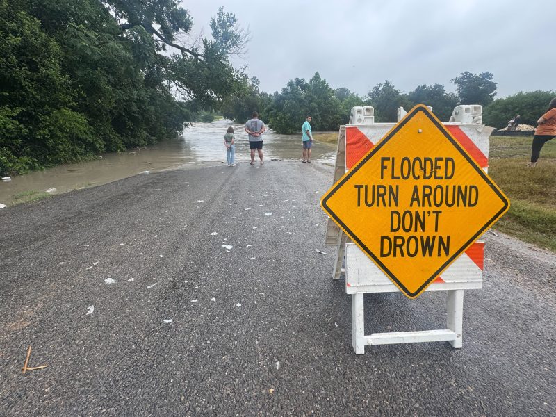
While heavy showers are common in Central Texas, flooding of this magnitude is rare. Soil moisture levels had been low, so much-needed rain quickly turned into runoff when the ground became oversaturated creating flash flood conditions.
To make matters worse, much of the flooding occurred at night, while many people were asleep or just waking up to dangerous conditions.
In the Lago Vista area, steep terrain and rolling roads made it difficult to find higher ground, and some roads were quickly overtaken by water.
About the Warnings
Since forecast models did not predict the storms would stall, most major warnings and alerts were issued as the events unfolded overnight.