
Share this @internewscast.com

MIAMI – Hurricane Erin reached Category 3 status in the Caribbean early Saturday morning, and the National Hurricane Center reported it is likely to gain more strength throughout the day.
Erin is approximately 170 miles (275 kilometers) northeast of Anguilla with top winds of 120 mph (195 kph) as it travels west-northwest at 20 mph (31 kph).
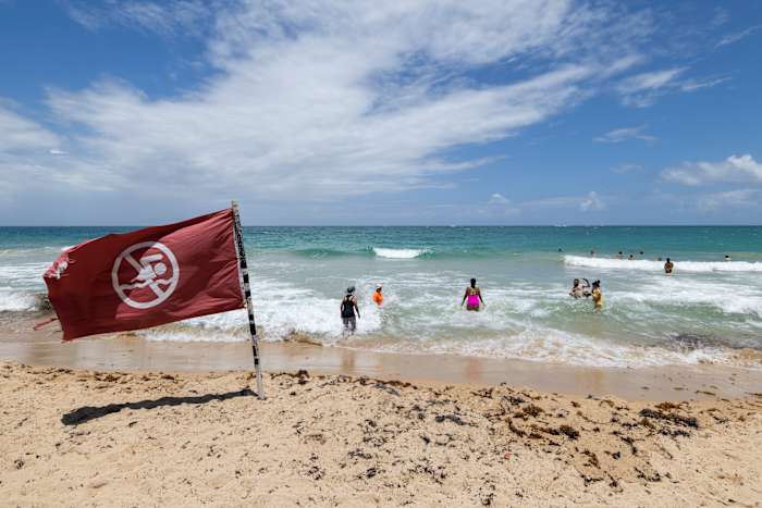
The hurricane isn’t expected to directly impact land areas, but surrounding islands face heavy winds, with forecasters warning about potential flooding and landslides. The NHC anticipates Erin will become a Category 4 storm later on Saturday but will steer clear of the continental United States.
Tropical storm watches have been issued for St. Martin and St. Barthelemy and Sint Maarten, with expected rainfall of up to 4 inches (10 centimeters) and isolated areas receiving as much as 6 inches (15 centimeters), as per the National Hurricane Center in Miami.
“Locally, considerable flash and urban flooding, along with landslides or mudslides, are possible,” the NHC said.
Michael Lowry, a hurricane specialist and storm surge expert, mentioned that Erin is likely to make a sharp northeast turn, potentially moving between the U.S. and Bermuda.
“All our best consensus models indicate Erin will veer safely east of the U.S. next week, but it’s a closer call for Bermuda, which might experience the stronger side of Erin,” he noted.
Erin is the fifth named storm of the Atlantic hurricane season, which runs from June 1 to Nov. 30, but the first to reach hurricane status.
“Erin is forecast to explode into a powerful Category 4 hurricane as it moves across very warm waters in the open Atlantic. Water temperatures at the surface and hundreds of feet deep are several degrees higher than the historical average,” said Alex DaSilva, Accuweather’s lead hurricane expert.
This year’s season is once again expected to be unusually busy. The forecast calls for six to 10 hurricanes, with three to five reaching major status with winds of more than 110 mph (177 kph).
The U.S. government has deployed more than 200 employees from the Federal Emergency Management Agency and other agencies to Puerto Rico as a precaution as forecasters issued a flood watch for the entire U.S. territory from late Friday into Monday.
Puerto Rico Housing Secretary Ciary Pérez Peña said 367 shelters have been inspected and could be opened if needed.
The U.S. Coast Guard said Friday that it closed six seaports in Puerto Rico and two in the U.S. Virgin Islands to all incoming vessels unless they had received prior authorization.
Meanwhile, officials in the Bahamas said they prepared some public shelters as a precaution as they urged people to track the hurricane.
“These storms are very volatile and can make sudden shifts in movement,” said Aarone Sargent, managing director for the Bahamas’ disaster risk management authority.
Copyright 2025 The Associated Press. All rights reserved. This material may not be published, broadcast, rewritten or redistributed without permission.