
Share this @internewscast.com

ORLANDO, Fla. – After a relentless streak of thunderstorms, tornadoes, and flooding rains, a storm system that spent several days at a time hammering the central parts of the country is finally headed our way.
With its arrival comes an increase in overall rain chances for many of us in Central Florida, but we’re also tracking yet ANOTHER severe weather potential.
The timing on this is ahead, so let’s break it down together!
First things first, the threat is confined to our northern viewing area. If you’re up in Alachua, Marion, Putnam, and Flagler counties, you are in the running to see the bulk of the worst weather.
That’s not to say, we won’t see any bleeding over of thunderstorms and heavy rain into parts of northern Sumter, Lake, and Volusia counties.
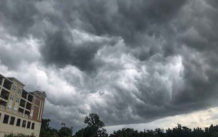
Our greatest threats are once again possible flooding, especially with as dry as its been. Frequent lightning could be an issue for those of us out and about later into the day on Monday or first thing Tuesday morning. Gusty winds within some of the more organized thunderstorms could produce some damage or knock out power.
Lastly, given the other ingredients at play here and how much wind we have in motion above our heads at ground level, we can’t rule out small hail or rogue funnel clouds if some of these individual storms try to rotate.
As of now, it looks like the bulk of the weather action will begin towards sunset and the evening hours of your Monday. As we introduce a bit of moisture to the environment, coupled with how HOT it’s been the last few days, we may see some very isolated storms try to flare up when it’s warmest out Monday afternoon.
But the main band of heavy weather will roll its way into central Florida around 8 to 10 p.m. This could be a good thing! Sure, we’ll still have some lingering heating of the day by 8 or even 9 p.m., but we won’t have as much UMPH in the overall area to play with like previous bouts of thunderstorm activity.
That could help us, but we won’t let our guard down especially as we monitor the threat for severe from here in the pinpoint weather center.
If you intend on being out past dark, an umbrella and maybe an outfit you’re not afraid to get wet is in order. Just be mindful of the lightning that may be ongoing if you get caught in one of the stronger storms.
As the front slides southeastward, it starts to lose some of its forward momentum. High pressure off our east coast is likely going to stall it out once it punches as far south as Lake Okeechobee outside of central Florida.
As such, we could see some lingering showers and isolated storms sticking around for folks in Polk, Osceola, and Brevard counties mid to late in the day Tuesday.
But the majority of the rain/storm event will have concluded around the lunch hour Tuesday.
Then we can welcome in a fresh batch of cool, polar air which will actually drop our temperatures BIG TIME! We’re looking at an unseasonable dose of cooler temps that’ll last into the early weekend.
Copyright 2025 by WKMG ClickOrlando – All rights reserved.


