
Share this @internewscast.com

Before Holly Andrzejewski and her family could host their initial guests at the Atlantic Inn on Hatteras Island, they began rescheduling due to Hurricane Erin, which was drawing close to North Carolina’s Outer Banks. The approaching storm on Tuesday threatened to unleash strong winds and massive waves.
Though the hurricane is projected to remain offshore, evacuations were mandated for barrier islands like Hatteras. Authorities caution that Erin might spawn perilous rip currents and potentially flood roads with waves as high as 15 feet (4.6 meters).
Andrzejewski and her husband acquired the island’s oldest inn only a week prior. By Monday, they had secured all outdoor furniture and ensured their daughter and her boyfriend, who act as innkeepers, were equipped with generators, ample water, and flashlights to oversee the property during the storm.
“It’s just one of those scenarios where this kind of situation is always a possibility, so you do your best with it. Otherwise, you’d not choose to reside by the beach,” Andrzejewski commented, intending to stay on the island herself in her home located about 15 minutes away.
Hurricane Erin had already doused parts of the Caribbean with rain and wind by Monday. Predictably, Erin is expected to curve northward, sparing the eastern U.S., although tropical storm and surge advisories were issued for significant portions of the Outer Banks.
Near Wilmington, at Wrightsville Beach, officials conveyed to the National Weather Service that at least 60 swimmers had to be rescued from rip currents on Monday.
The storm intensified to a Category 4 with 140 mph (225 kph) maximum sustained winds Monday while pelting the Turks and Caicos Islands, and the southeast Bahamas, according to the U.S. National Hurricane Center. By Monday night, sustained winds had dropped some to 125 mph (200 kph) with Erin about 690 miles (1,110 kilometers) southwest of Bermuda and about 780 miles (1,255 kilometers) southeast of Cape Hatteras.
Government officials in the Turks and Caicos Islands said all services were suspended on three of its islands and ordered residents there to stay home. Some ports also closed.
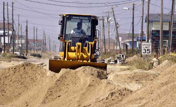
On North Carolina’s Outer Banks, coastal flooding was expected to begin Tuesday and continue through Thursday.
The evacuations that began Monday on Hatteras Island and Ocracoke came at the height of tourist season on the thin stretch of low-lying barrier islands that jut into the Atlantic Ocean and are increasingly vulnerable to storm surges.
A year ago, Hurricane Ernesto stayed hundreds of miles offshore yet still produced high surf and swells that caused coastal damage.
This time there are concerns that several days of heavy surf, high winds and waves could wash out parts of the main highway, the National Weather Service said. Some routes could be impassible for several days, authorities warned.
This is the first time Ocracoke has been evacuated since Hurricane Dorian struck in 2019, leaving behind the most damage in the island’s recorded history.
Tommy Hutcherson, who owns the community’s only grocery store, said the island has mostly bounced back. He’s optimistic this storm won’t be as destructive.
“But you just never know. I felt the same way about Dorian and we really got smacked,” he said.
Scientists have linked the rapid intensification of hurricanes in the Atlantic to climate change. Global warming is causing the atmosphere to hold more water vapor and is spiking ocean temperatures, and warmer waters give hurricanes fuel to unleash more rain and strengthen more quickly.
Erin, the year’s first Atlantic hurricane, reached a dangerous Category 5 status Saturday with 160 mph (260 kph) winds before weakening. It is expected to remain a large hurricane into midweek.
“You’re dealing with a major hurricane. The intensity is fluctuating. It’s a dangerous hurricane in any event,” the hurricane center’s Richard Pasch said.
Bermuda will experience the most severe threat Thursday evening, said Phil Rogers, director of the Bermuda Weather Service. By then, waters could swell up to 24 feet (7 meters).
“Surfers, swimmers and boaters must resist the temptation to go out. The waters will be very dangerous and lives will be placed at risk,” acting Minister of National Security Jache Adams said.
Erin’s outer edges hit parts of Puerto Rico and the Virgin Islands with heavy rains and tropical storm winds Sunday, knocking out power to thousands.
___
Associated Press journalists Safiyah Riddle in Montgomery, Alabama, and Julie Walker in New York contributed.
Copyright 2025 The Associated Press. All rights reserved. This material may not be published, broadcast, rewritten or redistributed without permission.