Share this @internewscast.com
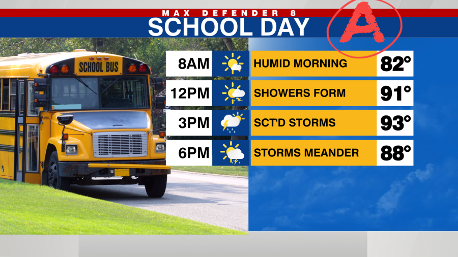
TAMPA, Fla. (WFLA) — The start of the work week brings hot and humid conditions with temperatures climbing to the mid-90s this afternoon. It will feel like it’s between 105-110 degrees today.

Rain chances increase to 60% this afternoon. A few isolated storms may form along the coast shortly after lunchtime and will expand in coverage throughout the remainder of the day.
Rain chances decrease toward the middle of the week before increasing again this weekend.

Temps remain above average through Thursday with highs in the mid-90s.

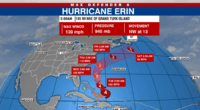
The tropics continue to be active, with Hurricane Erin turning away from land and heading out to sea this week. Large swells will generate strong rip currents along the US East coast throughout the week.

A new tropical wave has emerged off the coast of Africa and will be monitored closely this week. It is expected to follow a similar path as Erin through Friday as it moves west across the Atlantic. Beyond that, forecast models suggest various tracks it could take. The next name on the list is Fernand.