
Share this @internewscast.com
ORLANDO, Fla. – We’ve got a new cluster of storms worth keeping an eye on in the Central Atlantic.
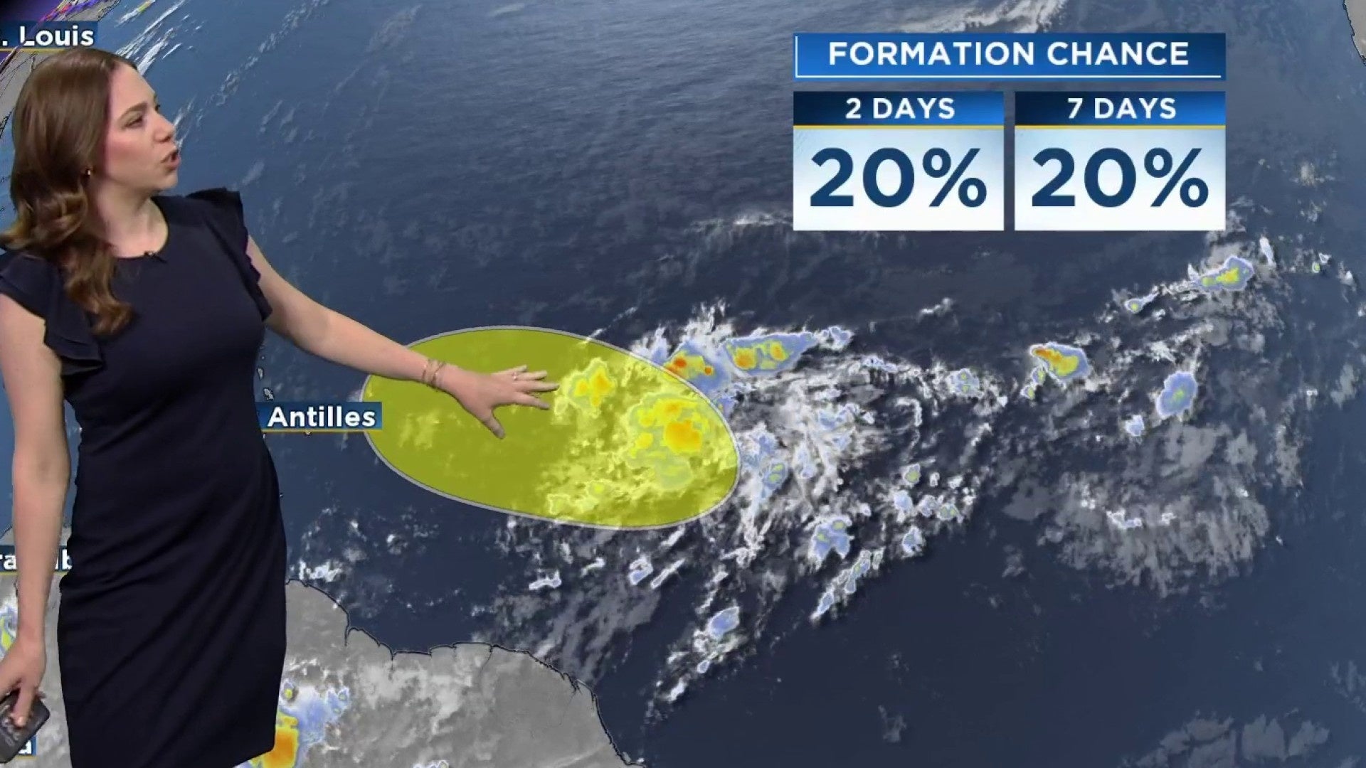
A small low-pressure zone, known as Invest 94L, has been gradually generating showers and thunderstorms roughly 900 miles to the east-southeast of the Lesser Antilles.
Overnight into Monday morning, some activity has picked up a bit, hinting at some modest organization.
Currently, the system is advancing west-northwest at a speed of 10 to 15 mph. The atmospheric conditions are just conducive enough to potentially allow for some development within the next day or two.
Beyond this brief period of possible development, the conditions surrounding this system are predicted to become less supportive by midweek. The introduction of dry air along with rising wind shear will make it challenging for the system to strengthen further.
Right now, the National Hurricane Center is giving it a low 20% chance of development through both the next 48 hours and seven days.
This area could bring much needed rain to the Lesser Antilles as their summer has been much drier than normal so far.
Copyright 2025 by WKMG ClickOrlando – All rights reserved.