
Share this @internewscast.com

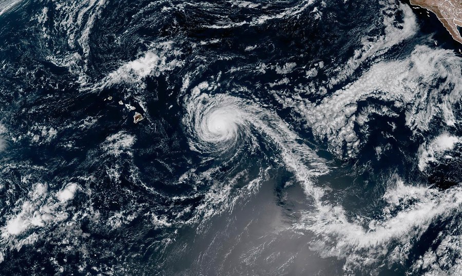
HONOLULU (AP) A diminishing Hurricane Kiko is predicted to travel north of Hawaii in the next few days, lowering the chances of strong winds and heavy rainfall on the islands, although it will still bring potentially hazardous surf conditions, forecasters mentioned on Sunday.
By Sunday, Kiko was located approximately 635 miles (1,025 kilometers) east of Hilo on the Big Island and was expected to pass north of the islands on Tuesday and Wednesday, according to the National Hurricane Center in Miami. The hurricane was advancing west-northwest at a pace of 13 mph (20 kph).
The maximum sustained winds were at 110 mph (175 kph) on Sunday, down from 120 mph (195 kph) on Saturday, with further weakening anticipated as the storm traverses cooler waters in the coming days.
There are no coastal watches or warnings currently in effect for Hawaii. The hurricane center noted that the risk of direct impacts on the islands seemed to be lessening, yet it advised Hawaii residents to continue keeping an eye on the storm’s development.
Forecasters have cautioned against potentially life-threatening rip currents and surf impacting the islands’ east-facing shores, with waves anticipated to reach heights of 10 to 15 feet (3 to 4.5 meters) in certain areas.