
Share this @internewscast.com
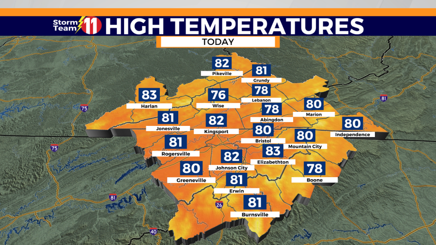
The Storm Team 11 forecast predicts a 60% likelihood of scattered showers and thunderstorms on Sunday, with temperatures reaching a high of 82 degrees under mostly cloudy skies.


Isolated strong to severe thunderstorms will be possible through the late afternoon and evening, with the primary threat being damaging winds.


A passing shower or thunderstorm is possible tonight, with a low of 62 degrees. Areas of patchy fog will develop late for some.

On Monday, the weather will remain mostly cloudy with a 30% chance of scattered showers and thunderstorms. The high temperature is expected to reach 83 degrees. There is a higher risk of scattered strong to severe thunderstorms occurring Monday evening, particularly in our western counties.


Scattered showers and thunderstorms will continue Monday night with a low of 63 degrees.
Tuesday will be partly cloudy and mild with a high of 81 degrees. Mostly clear skies are expected Tuesday night with a low of 58 degrees.

Skies will be partly cloudy on Wednesday with a high of 84 degrees. Wednesday night will be mostly clear with a low of 60 degrees.
Thursday’s weather will be partly cloudy with a high temperature of 85 degrees. There is also a 20% chance of isolated showers and thunderstorms, influenced by the terrain. Thursday night is expected to be mostly cloudy, with a low of 64 degrees.
Friday, there will be a 50% chance of scattered showers and thunderstorms with a high of 87 degrees.
Showers and thunderstorms become increasingly likely by next Saturday with a high of 86 degrees. The rain chance will be 70%.
Have a great morning.