
Share this @internewscast.com

() The National Weather Service has issued a new flash flood watch for central Texas through 7 p.m. CDT Monday, covering areas already hit by heavy flooding.
The watch covers Llano, Burnet, Williamson, Edwards, Real, Kerr, Bandera, Gillespie, Kendall, Blanco, Hays, Travis, Bastrop, Lee, Uvalde, Medina, Bexar, Comar, Guadalupe and Caldwell counties along with parts of Hill County.
A flood watch indicates that conditions are conducive to possible flooding, but it does not mean flooding has already begun.
Slow-moving heavy rains overnight and throughout Monday could lead to flash floods, with the NWS saying it is difficult to pinpoint the exact areas where heavier rainfall will occur.
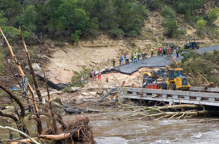
The affected area could see two to four inches of additional rainfall with isolated amounts of up to 10 inches. Any heavy rainfall in the already hard-hit areas will lead to rapid runoff and flash flooding.
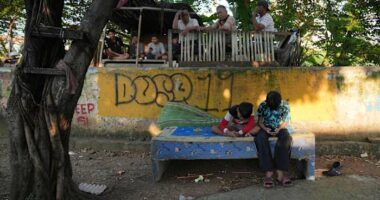
Kerr County is already dealing with the aftermath of catastrophic flooding after the Guadalupe River rose 26 in 45 minutes in the early morning hours of Friday. Nearby counties have also suffered flooding, including an area that is home to several summer camps.
At least 82 people have died in the floods, including 27 campers and counselors from Camp Mystic, an all-girls Christian summer camp. That number is expected to rise as rescue and recovery efforts continue and more rain threatens the area.