
Share this @internewscast.com

The center of Hurricane Kiko is approaching the Hawaiian Islands as a Category 4 storm, prompting officials to declare an emergency. Despite this, the storm is expected to lose strength.
According to the National Weather Service as of 5 a.m. Hawaiian Standard Time, or 11 a.m. Eastern Standard Time, Kiko was located about 1,205 miles east-southeast of Honolulu with maximum winds of 130 mph. The hurricane was moving in a west-northwest direction at 25 mph.
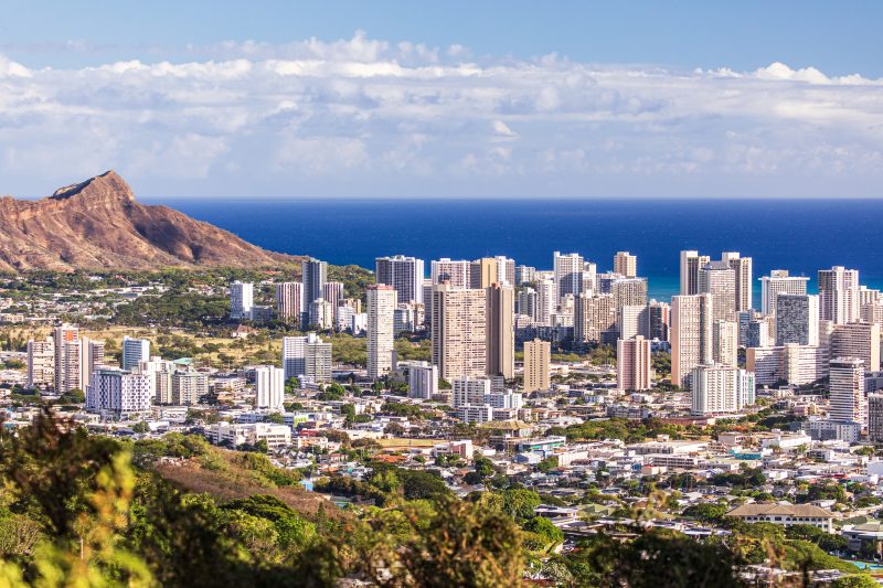
The NWS predicted that Hurricane Kiko would arrive at Big Island and Maui by Sunday and would reach its peak impact on the eastern parts of the Hawaiian Islands from late Monday through the middle of the week.
In response, the state of Hawaii declared a state of emergency on Friday due to potential life-threatening surf and dangerous rip currents, which also opens up the possibility of federal disaster assistance if needed. This emergency declaration will be in effect until September 19, unless altered earlier.
“To ensure the safety and preparedness of our communities, the state and counties are ready to mobilize resources to clear debris, secure infrastructure, and swiftly address any possible damage caused by the storm,” stated Acting Governor Sylvia Luke. “We urge both residents and visitors to stay informed with updates, follow official advice, and prepare accordingly.”
Owing to the cooler waters surrounding Hawaii, Kiko is projected to weaken from Category 4 to Categories 2 and 1, eventually becoming a tropical storm before hitting the Big Island, according to local affiliate KHON. A tropical storm is characterized by wind speeds ranging from 39 mph to 73 mph.
This is the second hurricane this season, which runs from June 1 to Nov. 30. Hurricane Erin emerged last month in the Atlantic Ocean but didn’t make landfall.