Share this @internewscast.com
CAPE CANAVERAL, Fla – With a storm expected to run parallel to the Atlantic coast, Brevard County is now under a tropical storm watch.
Ocean rescue said to expect red or even double red flags on beaches.
If you do go out into the water this weekend or in the next few days, the county advises to be extremely careful.
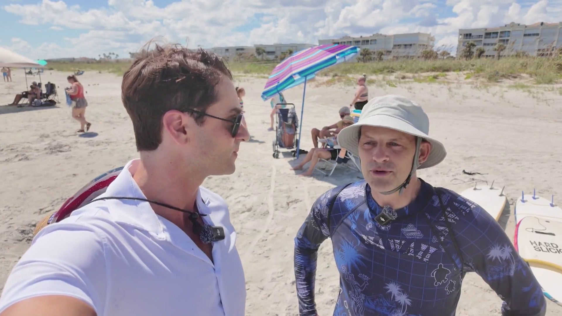
Surfer Kevin Francom had the same advice for inexperienced swimmers.
He told Cape Canaveral Community Correspondent James Sparvero waves Saturday were small but well formed.
“As the swell builds with the storm coming in, we’ll have to be mindful of the undertow and potential rip currents,” Francom said.
Lifeguards have told News 6 how to spot a rip current and how to escape one.
[VIDEO:Tropical Depression Nine forms, tropical storm watch in effect for Florida coast]
“Typically, some indicators to observe include an increase in turbidity, or the browning of the water, where it appears slightly discolored after agitating sand and debris from the bottom,” Steve Fender mentioned.
The ocean rescue shift supervisor said if caught in a rip current, don’t fight it.
“Whatever direction it’s pulling you, go with it,” Fender said. “Continue that direction. Follow the shoreline to get out of it.”
[RELATED VIDEO: Preparations ahead of potential stormy weather in Volusia County]
Francom said it’s better to stay and stay safe.
Port Canaveral officials told Sparvero none of its cruise ships have adjusted their schedules due to the storm.
Stick with News 6 and ClickOrlando.com for continuing coverage of the storm’s potential impacts on Central Florida.
Copyright 2025 by WKMG ClickOrlando – All rights reserved.