
Share this @internewscast.com
The hot and stormy pattern will continue into the weekend for the Coastal Empire and Lowcountry.
Moisture from the subtropical region continues to stream into the southeast, influenced by a robust Bermuda high. This increased moisture content is expected to result in scattered rain and thunderstorms. Rainfall rates may exceed 1-2″ per hour at times, raising concerns for localized flooding in areas with inadequate drainage.
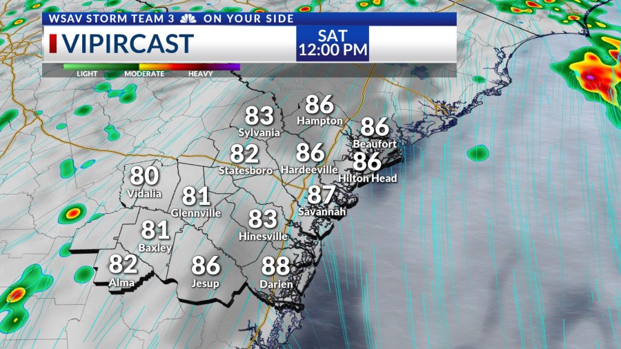
The optimal time for storms on Saturday and Sunday will be from noon to early evening, coinciding with the peak heating hours. As the temperatures begin to drop around sunset, the chances of rain will start to lessen.


The extra moisture over the region will make conditions feel much hotter over the coming days. Heat index values will be over 103°F at times.
The heat index is the temperature that your body senses because higher humidity makes it harder for your body to cool off.
Heat index values surpassing 100°F can pose dangers and may result in heat exhaustion and heat stroke unless precautions are taken, such as cooling down and staying hydrated, especially during outdoor activities.


Even hotter conditions are expected next week when compared to what we expect for the weekend due to lower rain and storm chances Tuesday through Friday.