
Share this @internewscast.com
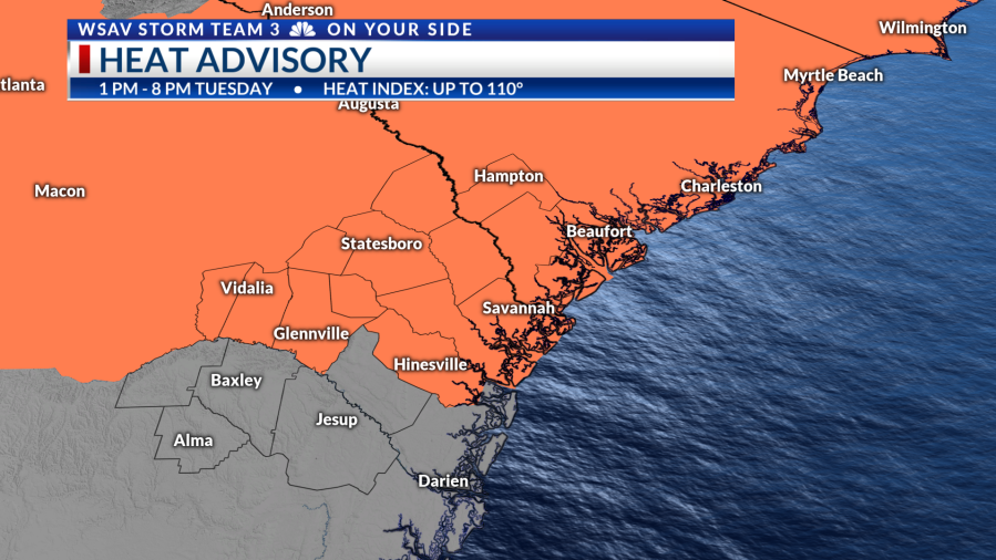
The hottest stretch of the week is arriving. A Heat Advisory is set for Tuesday between 1 p.m. and 8 p.m. as temperatures soar into the mid to upper 90s, but it will feel like it’s over 110°.
Be sure to stay hydrated, weather lightweight reflective clothing and take frequent breaks if you need to be outdoors.
Tuesday starts with relatively typical warm & muggy conditions. Temperatures warm rapidly under plenty of sunshine to 90° by 11 a.m.
Expect mid-to-upper 90s with even some 100° thermometer readings possible inland.
The evening won’t offer much relief with heat index numbers staying above 100° even after dinner. Wednesday morning will start off uncomfortably humid, with lows only in the mid to upper 70s.
Another scorching day is expected on Wednesday, which may lead to additional heat alerts. The humidity will continue to push the heat index to 105° or more.
Relief from the heat will arrive with high pressure breaking down and daily storm chances returning.
Wednesday brings a 20% chance of storms while isolated-to-scattered storm chances return Thursday-onward.