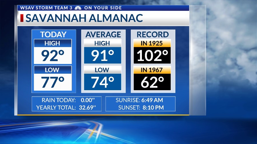
SAVANNAH, Ga. () — Thursday afternoon was a continuation of the hotter and more humid pattern we have been in for several days.
Our highs were in the low to mid 90s with hotter heat index values.
More of this heat is in the forecast for Friday and into the weekend. The one change will be slightly higher storm chances for Friday and Saturday.

A LOOK AHEAD
The southeast is anticipated to receive an influx of deep tropical moisture over the coming days. This additional moisture will give rise to scattered showers and thunderstorms on both Friday and Saturday.
Heavy rainfall poses a risk of localized flooding during these days. The existing heat also has the potential to trigger a handful of strong or severe storms, with damaging winds being the primary threat.


Afternoon highs both days will still reach the low to mid 90s. High humidity will help heat index vales to be over 105°F.
Heat advisories are likely for most of the area on Friday.
The National Weather Service in Jacksonville has already issued heat advisories for areas south of the Altamaha River, as heat index values could soar to 110°F.


Be sure to exercise caution out in the heat by taking plenty of breaks in the air conditioning or in the shade while staying hydrated.
This warm weather pattern is expected to persist through the next week. However, chances of rain and storms are predicted to diminish by Sunday and into the following week.
TRACKING THE TROPICS
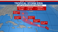
Tropical Storm Erin is located in the central Atlantic Ocean and continues to move westward to the Leeward Islands in the Caribbean.
Tropical Storm Erin has intensified according to the 11 p.m. EST advisory. Sustained winds have risen to 70 mph, accompanied by stronger gusts. Erin continues its west-northwest trajectory at 17 mph.

We expect Erin to gradually begin moving west-northwest over the coming days, keeping it north of the Antilles.
Tropical storm watches have been issued for the northern Leeward Islands.
Gradual strengthening is expected to continue over the next several days. It is possible that Erin becomes a hurricane sometime Friday.
Projections suggest Erin will evolve into a major hurricane (Category 3 or higher) over the weekend. Current forecasts indicate Erin will sharply turn northward around the Bermuda high this weekend and into the next week.


This path would keep the center of Erin several hundred miles off of the east coast of the U.S. No direct impacts are expected at this time for the southeast.
However, dangerously high surf and rip currents will be a major concern next week for the east coast including Georgia and South Carolina.