Share this @internewscast.com
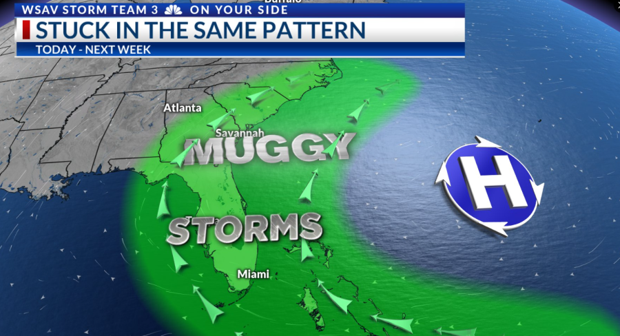
Good morning – StormTeam 3 Meteorologist Alysa Carsley here – Let’s have a fabulous Thursday! Over the next several days, we will be stuck in the same weather pattern – scattered storms in the afternoon with hot temperatures. High pressure remains anchored to the east coast, driving a southerly to southwesterly wind. This will continue to increase humidity, moisture, and storms each day.

TODAY
We will see a few morning showers brush our coastal communities. There is a low chance of waterspouts. It’s just this time of the year! Shout out to Meteorologist Hannah Evans – she did a great explainer earlier this week on how they form.
Our highest chance of storms will be through the late afternoon into the later evening. Storms could be slow-moving, running the risk of localized street flooding. And with ample moisture, a few storms could become strong and severe with damaging winds.
High temperatures will be in the lower 90s with heat index up into the upper 90s to around 100°F. Be sure to take plenty of breaks in the shade or air conditioning while staying hydrated if engaging in outdoor activities.
INTO FATHER’S DAY WEEKEND

Temperatures will continue to heat up a degree or two each day. Sunday’s high is at 93°F with heat index values around 105°F. Scattered storms remain possible through this weekend. Any plans to celebrate Dad would be best in the morning, when it is drier and “cooler” or not as hot!