
Share this @internewscast.com
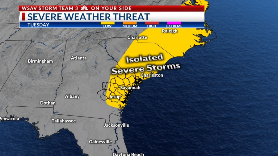
The Coastal Empire and Lowcountry are set to experience an unpredictable weather pattern for much of the upcoming workweek. Expect scattered showers and storms on Tuesday, with the possibility of encountering a few strong to severe storms.


Tuesday will begin with a few passing showers or storms after sunrise with coverage of rain increasing through the morning.
Thunderstorms will become more widespread around noon and after. Rain and storm chances will remain elevated into the evening.
Heavy rain at times will be an issue, especially during the afternoon commute. Some stronger storm cells may be able to drop a quick 1-2″ of rain.
Although most storms are not anticipated to be severe, the stronger ones may bring damaging wind gusts over 60 mph and small hail.


Afternoon highs will be in the upper 80s to lower 90s which will provide ample fuel to produce a few severe storms.
Rain chances will gradually decrease through Tuesday evening with temperatures cooling into the low to mid 70s.
From Wednesday through the weekend, more scattered rain and storms are expected, with afternoon temperatures climbing to the upper 80s and lower 90s each day. There remains a low risk for a few severe storms daily, but organized severe weather is not anticipated at this time.