
Share this @internewscast.com
The unpredictable weather conditions persisted in the Coastal Empire and Lowcountry on Wednesday. Afternoon temperatures reached the lower 90s, with some areas experiencing heat index values exceeding 100°F due to extremely high humidity.
Scattered storms developed along and west of I-95 late in the afternoon and continued into the evening.
More hot weather and more storms are in the local forecast as we look ahead to Thursday, Friday, and into the weekend.
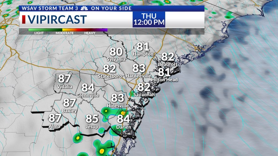
Thursday morning will kick off with very warm and humid conditions, accompanied by partly sunny skies. The weather will remain mostly dry throughout the morning. However, showers and thunderstorms are expected to start forming around midday, continuing into the afternoon hours.


Scattered showers and storms are likely to prevail in the late afternoon and into the early evening. The combination of abundant moisture and heat may lead to a few isolated storms potentially becoming strong or severe. The primary concerns will be heavy rainfall and strong wind gusts.
High temperatures will be in the lower 90s for most of the area. Elevated humidity will lead to heat index values for much of the afternoon in the upper 90s to possibly over 100°F at times.
Be sure to take plenty of breaks in the shade or air conditioning while staying hydrated if engaging in outdoor activities.


Afternoon high will gradually increase Friday and through next week, even with elevated rain and storm chances staying in the forecast. Heat index values will continue to climb as well.
Peak heat index values over the weekend may be in excess of 103°F at times.