
Share this @internewscast.com
In Savannah, Georgia, Friday brought about scattered rain showers and thunderstorms. Some of the storms inland turned severe, posing a threat with strong wind gusts that caused trees to fall in Screven County.
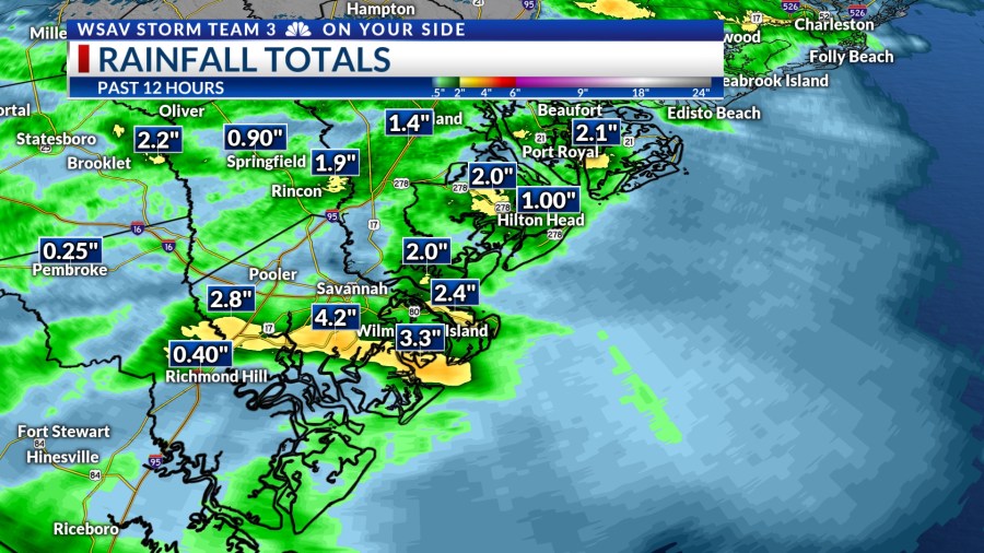
Even non-severe wind gusts were strong enough to knock down trees in Savannah. The intense rainfall raised concerns of flooding, particularly in Chatham County.


During Friday afternoon and into the early evening, the storms were accompanied by significant lightning activity. Around 6 p.m., lightning struck an apartment building on White Bluff Road, igniting a fire on the roof.
A LOOK AHEAD
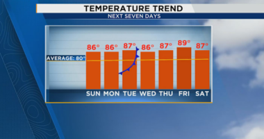
More storms are possible over the weekend. Saturday looks like it will feature more storms than Sunday. Both days will be very hot and humid with highs in the mid to even upper 90s.
Heat index values will be over 105°F at times.
Any of the showers or storms that develop will have the potential to become strong or severe with damaging wind gusts as the primary concern.


Heavy rain may also lead to localized flooding again. Especially in areas that had the heaviest rain over the past two days such as Chatham, Jasper, and Beaufort County.
A slightly drier patter will set up for Sunday and Monday. The drier conditions will be short lived as more storms are expected by mid-week.
Temperatures next week will be in the lower to middle 90s each afternoon.


THE TROPICS
The Atlantic basin remains quiet for now with no tropical development expected over the next five to seven days.
Long-range guidance continues to highlight the northern Gulf as a place to watch for development within the next two weeks.