
SAVANNAH, Ga. () — Scattered storms are expected this weekend, and we continue to track the latest in the tropics.
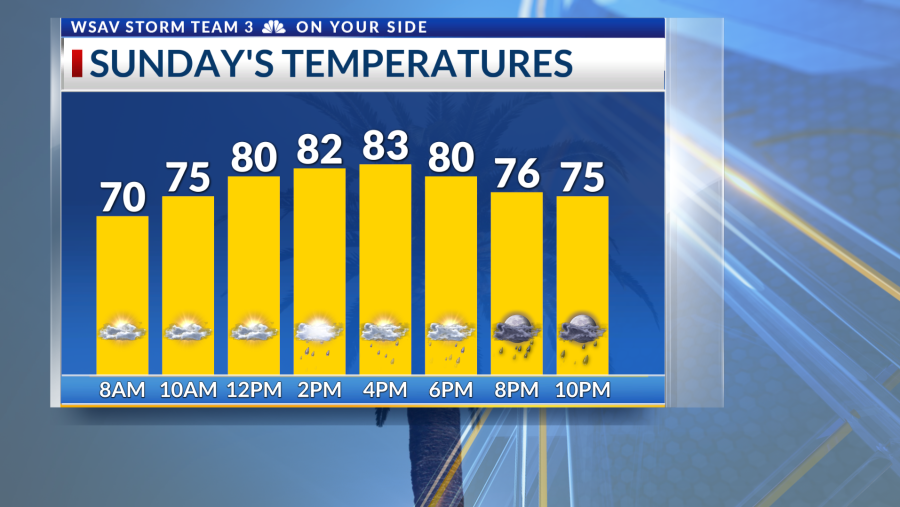
In the local area, a frontal boundary combined with a significant amount of tropical moisture will continue to result in rain and storms through Sunday. This situation is separate from any tropical storm activity. Certain locations might experience localized flooding from the intense rainfall.


Tropical Depression Nine is maintaining its strength as it gradually moves away from Cuba. As of 5 PM, the depression has maximum sustained winds of 35 mph, accompanied by stronger gusts. The National Hurricane Center’s forecast shows a somewhat favorable trend, expecting the system to make a right turn.
However, specifics regarding its path and intensity are more uncertain than usual due to complex forecasting conditions. The slow progression of TD-9 along with Hurricane Humberto’s intensity will influence the direction of future-Imelda, aiding in steering it away from our region.
The level of impact, which includes wind strength, rainfall amounts, storm surges, and possible tornadoes in the Coastal Empire and Lowcountry, will depend on the path that Imelda eventually takes. These specifics will become more apparent over the next 24 to 36 hours.
Continue to keep tuned to the forecast as we get more details.


In other tropical developments, Humberto has intensified into a Category 5 hurricane with maximum sustained winds of 160 mph. Although this storm will not affect the US, its unexpected strength may alter future-Imelda’s path as it moves north slightly faster and has a broader influence over the Western Atlantic Ocean.


