
Share this @internewscast.com
An overnight period with warmth and significant humidity is anticipated as the classic summer weather returns. Skies will become clear, and gentle southwesterly breezes are expected. Patchy fog might occur in some inland areas.
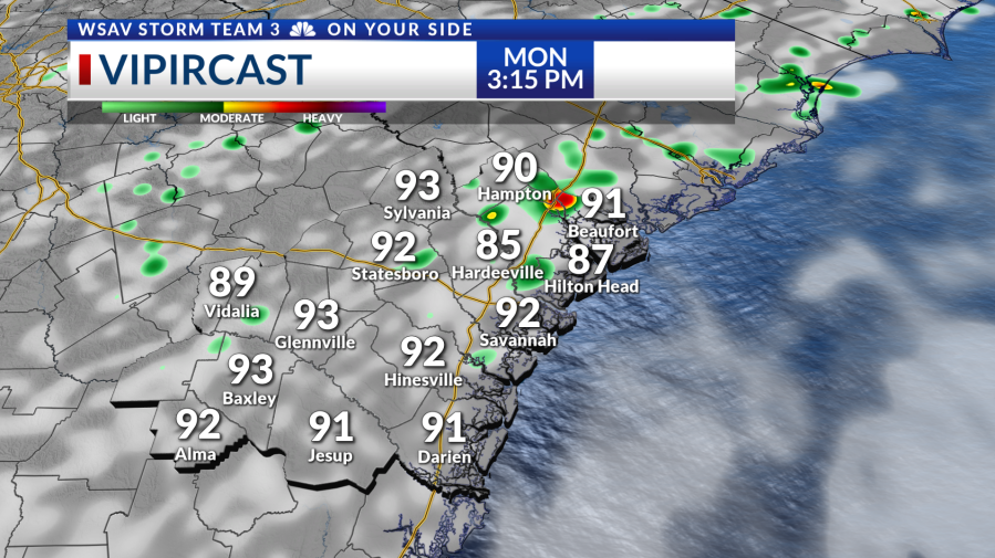
The arrival of high pressure will create extremely hot conditions at the beginning of the week, with high temperatures reaching into the mid to upper 90s on Monday. A few showers and storms may occur in the afternoon.
Tuesday’s weather will be much the same, starting off very warm and humid, followed by higher-than-usual heat in the afternoon. There will be a slightly better chance for storms, ranging from isolated to widely scattered occurrences.
The main concerns with storms will be heavy rainfall leading to localized flooding. Storms will not have much motion to them for the early part of the week.
Some storms may bring strong-to-severe damaging straight-line winds as well but no widespread severe weather is expected.
Very seasonal heat and storm chances return for the middle to end of the workweek.
Similar concerns with localized flooding & isolated damaging straight-line wind gusts are in play with some storms.
Tropical Depression Chantal is currently moving through North Carolina & Virginia.
The system brought tropical storm impacts to the Myrtle Beach & Wilmington areas, followed by flooding rain across interior North Carolina.
There are no tropical threats for the Coastal Empire & Lowcountry at this time.