
Share this @internewscast.com
Good morning – StormTeam 3 Meteorologist Alysa Carsley here – let’s have a fabulous Saturday!
We haven’t been able to escape the rain showers overnight. Persistent rain has affected the Lowcountry, with heavy downpours expected throughout the day. Yesterday’s rainfall amounted to between 2 to 5 inches. Since the ground remains saturated, it won’t take much additional rain for flooding to become an issue once again today.
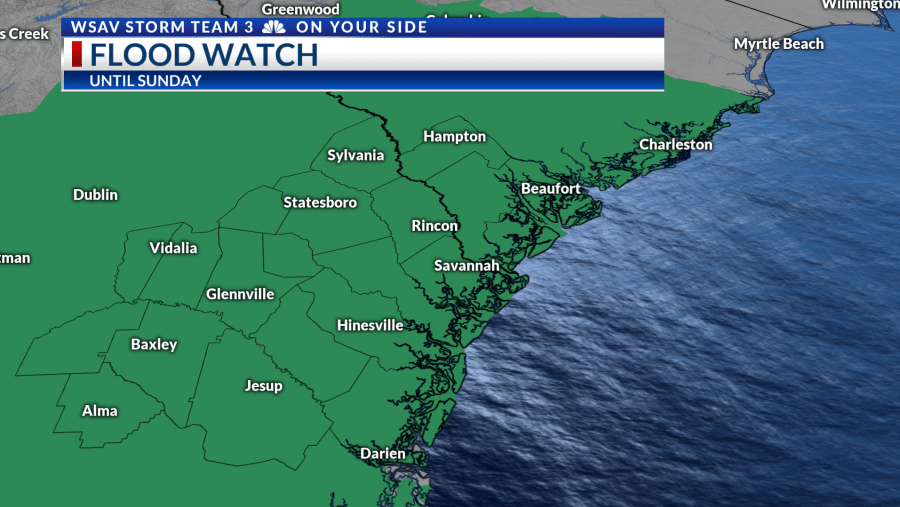
A Flood Watch continues through early Sunday morning. Sunday is expected to be somewhat drier, but not rain-free. Scattered showers will still be possible throughout the day. A weak cold front swings through to help push that trough out of the area. This dries us out for the work week and brings back the sunshine. The extra sunshine will heat temperatures back into the low 90s Monday & Tuesday.

A reinforcing cold front swings through with only a few stray showers along it by midweek. This will cool temperatures down in the afternoon but also in the morning! Highs will be in the mid-80s under a partly cloudy sky. Low temperatures will be in the mid-60s!