
ORLANDO, FL – Before diving into the weather forecast, I’d like to extend warm wishes for a delightful Fourth of July to everyone. As a fellow member of the service, this holiday holds profound significance for me.
I hope you can feel a little extra patriotic and festive through this Friday, July 4, despite the tropics attempting to rain down on us.
Now, turning to our weather outlook, there’s a mix of positive and not-so-positive updates to share. I hesitate to say ‘bad news’ because Central Florida is likely to remain unscathed by any direct effects from the recently designated invest.
Let’s break it down
After days of monitoring the area of interest parked overtop the Southeast, we’ve finally had the pieces driving it come together.
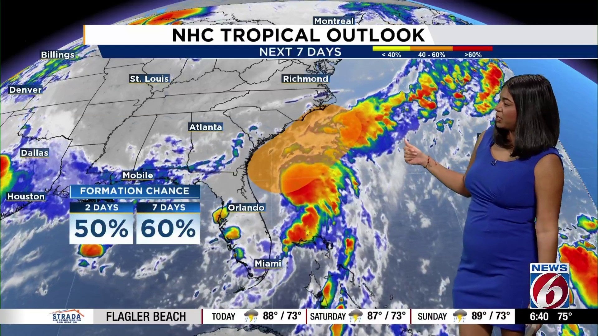
A weather front has settled over open waters, and as of Friday morning, some notable clusters of thunderstorms are beginning to develop off Florida’s east coast.
Because of this, we’re already beginning to notice a weak counter-clockwise spin developing in our warmest waters.
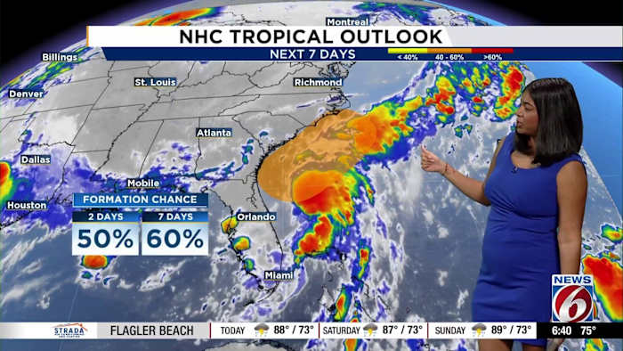
Right now, the Hurricane Center keeps our formation chances at 50% over the next two days and 60% over the next seven.
Hurricane models can start to run for this feature and we will get a better look at what’s ahead in its lifecycle.
If the progression toward a more organized storm system keeps up through the morning, Hurricane Hunters will begin flying later Friday.
Now, as bizarre as this may sound, we want to continue to see this area of disturbed weather blossom into something a bit more consolidated.
Why?
The more energy and spin our invest area can take on, the less widespread showers and thunderstorms many of us will have to endure across the Southeast — from Central Florida to our neighbors in Georgia, and the Carolinas.
The “ceiling,” or strongest most likely outcome in the spread of uncertainty still ahead with invest 92L is a lopsided tropical storm.
After carefully looking through an abundance of the computer model data, it seems the bulk of the heaviest rains and highest winds will occur along the immediate shores of the Mid-Atlantic states, especially South and North Carolina. Georgia could see some wrap-around influence in terms of rain and some gusty winds further inland, but nothing incredibly substantial.
Models Friday morning are already indicating a lot less rainfall for Central Florida.
Earlier this week, the general thinking was anywhere from 2-5 inches of rain in some spots. This would be compounding on some higher rain totals we’ve already piled up from stronger afternoon storms.
Rainfall totals have actually trended down, toward the 1- to 3-inch range throughout the entire event from start to finish.
It appears rain and storms could be spottier as well.
Instead of seeing the state blanketed by tropical rains, we’re thinking there could be some areas that might get to pop some fireworks off in between bouts of showers and more organized convection.
If you’re reading from the southern half of Central Florida, or even outside our viewing area altogether, you might wake up to some rain. Then later on Friday, after we get some daytime warming to occur, our northern counties will see some development of thunderstorms.
They should come in bands, just like the spiral bands you see around a traditional tropical storm.
Higher resolution computer models suggest our rains will start to taper off some around sunset.
We’ll still have a few spotty pockets of the pesky tropical showers, but it won’t be a whole washout for our state.
Areas previously impacted by dry drought conditions will also continue improving, which means the fire risk that comes with fireworks usage won’t be as high.
As the system pulls north away from our state, Saturday and Sunday will keep rain chances around, but they should behave in more sea breeze-style fashion. This means we won’t have rain sitting on top of us from sunrise to sunset, but rather clusters and waves that may try to form as we go through our afternoon and early evening.
As for the coastline, anytime we have a brewing tropical system trying to come together, it’s safe to say you may want to use caution if you plan to hit the beach. Inland plans may work, but rough surf and rip currents will probably be a thing if this low pressure starts strengthening toward named storm status.
The next named storm, by the way, will be called Chantal.
But overall, it seems your Fourth of July weekend holiday might not be as substantial of a washout.
We will wait have to wait and see what the day has in store for us and Invest 92L.
Copyright 2025 by WKMG ClickOrlando – All rights reserved.