Share this @internewscast.com

I hope you made the most of the fantastic, almost autumn-like weekend here in Central Florida! I certainly did while keeping an eye on the weather for the coming week.
The region continues to experience dry air moving southward due to an upper-level low pressure stuck along the northern Florida-Georgia border. This system is pushing cooler, drier continental air into the area as it rotates counter-clockwise.
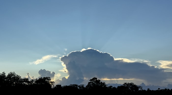
If you’ve noticed the skies clearing from Friday to Sunday evening, it’s because of this drier air, setting up a promising sunset for many. Unless, of course, you happened to be in the path of the few isolated showers that occasionally swept across the peninsula.
Some rain may occur due to a low-pressure area and a lingering frontal boundary to the south, attempting to bring moisture back into our region.
As soon as they come ashore however, they begin to dissipate and pretty quickly since the air is far less unstable and drier the further up you go.
The start of the week for school or work should mirror today’s weather. As the air, having settled over the southern regions for the long weekend, changes, you might find it feels warmer. The sun will seem hotter when you step outside.
With the influx of dry air from the north and west, the probability of rain remains low. Therefore, we can anticipate another splendid start to the day, making for a great beginning to the first full week of September.
By about Wednesday and into Thursday and the approaching weekend is when the wheels of change will start to turn. The upper level low sitting north of us will start to pick up some forward speed and be reabsorbed into the jet stream pattern that initially dropped it into our region a few days back.
Because of this, we’ll be between systems. Moisture will be allowed to surge back in from the south once again from the tropical firehose of the Caribbean, the Yucatan, and the eastern Gulf.
As this occurs, humidity will start to climb back in summertime fashion. Maybe this is our one last push of summer conditions here in Florida before fall really tries to take hold deeper into the month and on final approach for October.
Temperatures will try to creep back into the 90s, and the humidity will make sure it certainly feels that way for us Floridians.
With increased humidity and moisture to toy around with, we’ll start to see more rain and storms during the afternoon and evening hours. This is especially true for Thursday and Friday. Then as we rotate out of next weekend, rain will be back in full swing for just about all of us.
So for now, enjoy the first half of a beautiful week ahead. Everyone won’t be able to dodge what isolated instances of rain and lightning we do see during the warmest parts of the day. But all in all as you wrap up your prep today, Sunday should behave. Monday and Tuesday look fairly tame as well.
Copyright 2025 by WKMG ClickOrlando – All rights reserved.


