
Share this @internewscast.com
TAMPA, Fla. (WFLA) — Another day with a good coverage of afternoon coastal storms is expected today and into the weekend.

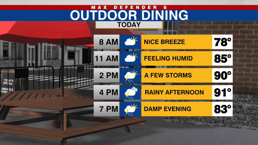
Temperatures will stay hot and humid, but not far off from average with highs in the low 90s.

Intermittent showers are expected to start forming by mid-afternoon and will increase in intensity as the day progresses. A southeast wind will push these showers into our coastal regions by this evening. Some of these storms may become intense, featuring strong winds, small hail, frequent lightning, and heavy rain that might cause localized flooding.

The same weather pattern of daily afternoon storms moving toward the coast will persist through early next week, although the extent of rain is anticipated to decrease over the weekend.

The tropics remain quiet for now with no development expected in the next seven days.