Share this @internewscast.com
In Brief
- Cyclone Narelle is set to make landfall at 7am on Friday (AEST)
- The initial Category 5 storm has been downgraded to Category 4
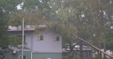
Northern Queensland is preparing for what could be its most significant cyclone event in over a century, as a potential Category 4 storm is predicted to hit the region on Friday morning.
“This is an exceptionally powerful weather system,” remarked Angus Hines from the Bureau of Meteorology, as Tropical Cyclone Narelle advanced toward the coast.
“Cyclones don’t get more intense than this,” he added.
Narelle is projected to sweep across far north Queensland as a formidable Category 5 cyclone after gathering strength in the Coral Sea, with wind gusts reaching up to 285 km/h.
However, at 4 a.m. (AEST), the Bureau of Meteorology revised the cyclone’s status to Category 4, noting sustained winds near its center at 195 km/h and gusts up to 270 km/h.
The massive storm is anticipated to make landfall around 7 a.m. (AEST) on Friday, between Lockhart River and Cape Melville.
A cyclone warning zone has been declared for Lockhart River and Cape Flattery, and between Mapoon and Pormpuraaw, including Coen, Weipa, and Aurukun.
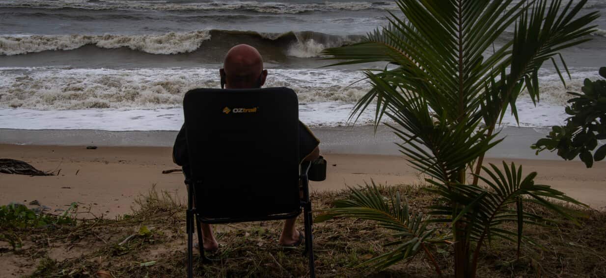
Vulnerable residents have been evacuated, tourists have returned home and schools have closed.
More than 100 emergency services personnel have been deployed as police go door-to-door to ensure locals are prepared.
After crossing Cape York, the storm is expected to lash the Northern Territory’s Top End before moving to Western Australia’s Kimberley coast.
About 500 people will be evacuated from NT’s remote Gulf of Carpentaria community of Numbulwar in the coming days.
Residents choosing to ride out the storm have been warned emergency services will not respond if conditions are too dangerous.
For the latest from SBS News, download our app and subscribe to our newsletter.