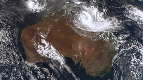

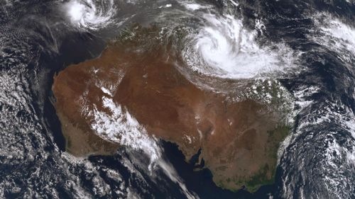
A significant weather event may result in up to 600mm of rain and storms across extensive areas of Queensland.
According to the Bureau of Meteorology, a low-pressure system embedded within a monsoon trough is set to intensify as it travels from the northwest toward the southeast, starting tonight and continuing into the coming week.
The system is expected to impact several regions, including Cairns, Innisfail, Tully, Ingham, Mount Isa, Cloncurry, Burketown, Mornington Island, Normanton, Doomadgee, Richmond, Julia Creek, Camooweal, and Croydon.
“The heavy rainfall is likely to result in road closures and isolate communities, potentially for an extended duration, particularly affecting outback and remote areas,” a spokesperson warned.
“We anticipate adverse effects on agriculture, notably on cattle and livestock, due to persistent low temperatures and flooding,” they added.
Rainfall is expected to surpass 300mm across western parts of the state by tomorrow, potentially exceeding 600mm by Wednesday.
“We are expecting those four-day totals to reach in excess of, even breaching, 700 millimetres,” he said.
“And rainfall won’t end there.”
The monsoon trough and low will then continue to move across the eastern parts of Queensland.
The Bureau of Meteorology will have a clearer understanding of where the rainfall is expected later next week.