Share this @internewscast.com
A pool of unstable cold air in the region whipped up some winter thunderstorms this afternoon and into the evening.
The Bureau of Meteorology issued an alert this afternoon about moderate to severe thunderstorms expected to hit regions including the Central Coast, Sydney, and the south coast, with areas like Newcastle and Wollongong being affected.
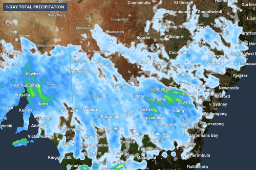
Isolated storms were expected across central and eastern NSW, before spreading “erratically” across the state and towards the coast.
Impacted areas were warned to brace for heavy downpours, hail and strong wind as the storm “packs a punch”, according to Weatherzone.
The bureau canceled its final thunderstorm warnings shortly before 7:30pm, noting that hailstones measuring two centimeters were reported in Mudgee, located roughly 100 kilometers southeast of there.
The unstable cold air may bring cumulonimbus clouds, which are characteristic of heavy thunderstorms more common in summer.
Conditions are expected to settle tomorrow, with the stormy weather forecast across the border into Victoria and South Australia.
The deep low over the southern ocean could bring storms on Tuesday and Wednesday in south and central parts of SA and Victoria.
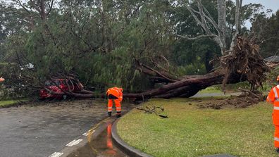
Fights were grounded, some homes were evacuated and thousands lost power.
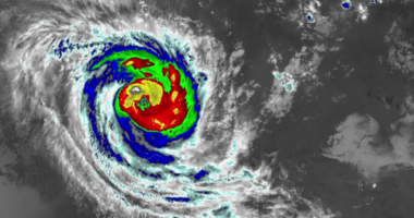
NSW coast smashed by ‘bomb cyclone’
The city will return to pleasant winter weather by Tuesday, with higher temperatures reaching 18 degrees forecast for Thursday and Friday.