
Share this @internewscast.com
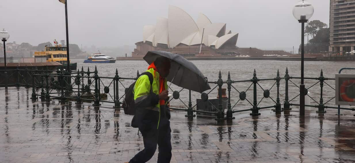
Parts of Australia will cop severe weather this week, with the Bureau of Meteorology (BoM) warning “a powerful low-pressure system will drench and batter” areas along the east coast.
The BoM issued a severe weather update, explaining the weather is being influenced by a low-pressure system off the coast.
Senior meteorologist Angus Hines said much of the initial rain on Monday would be along the Queensland coast, with the wet weather making its way south to NSW and rain increasing as it moves along the central coast on Tuesday.
Low pressure is expected to build along the NSW coast on Tuesday before intensifying on Wednesday.
According to Hines, continuous rainfall is anticipated along the NSW coast, from Port Macquarie down to the eastern regions of Victoria on Wednesday, with several areas projected to receive 100-200mm of rain.
Hines warned there was potential for riverine flooding and flash flooding.
“That can mean inundation of homes, properties, businesses, roads and streets, which of course can lead to dangerous driving conditions,” he said.
He said wind would be a “major part” of the weather event with very strong gusts initially developing on Tuesday around the central coast of NSW.
“Almost anywhere along the eastern seaboard from about Melbourne up to Brisbane, chances are you’re getting a battering of strong winds at some stage this week,” Hines said.
He said those winds would also create hazardous conditions on the water.
“They will whip up very large waves on Tuesday, [with] potential for 5-7 metre waves.”
The low will gradually pull away to the east on Thursday, which Hines said would mean weather along eastern parts of Australia would become much more settled on Friday.