Share this @internewscast.com
The tornado’s estimated peak winds reached 85 miles per hour. No injuries were reported.
CLEVELAND — The National Weather Service has confirmed a tornado hit Trumbull County during the early morning storms that struck Northeast Ohio on Friday.
According to the NWS, the EF-0 tornado occurred in Bristolville, beginning at 12:35 a.m. just east of Mahan Denman Road on Hyde Shaffer Road where large tree branches were snapped. The tornado then headed east, damaging corn fields and additional trees before it crossed Thompson Clark Road.
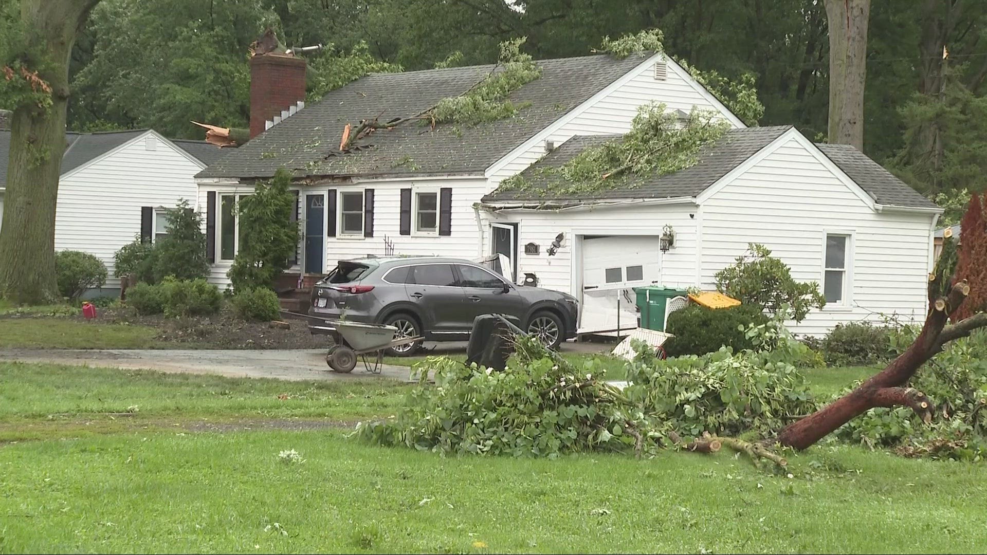
Multiple homes sustained minor damage to siding, shingles, and roofing and one home had the car port collapse. The tornado finally ended near North Park Avenue at around 12:37 a.m. No injuries were reported.
The Trumbull County tornado had estimated peak winds of 85 miles per hour.
The NWS has reported three other confirmed tornado touchdowns in Northern Ohio from the Thursday night-Friday morning storms:
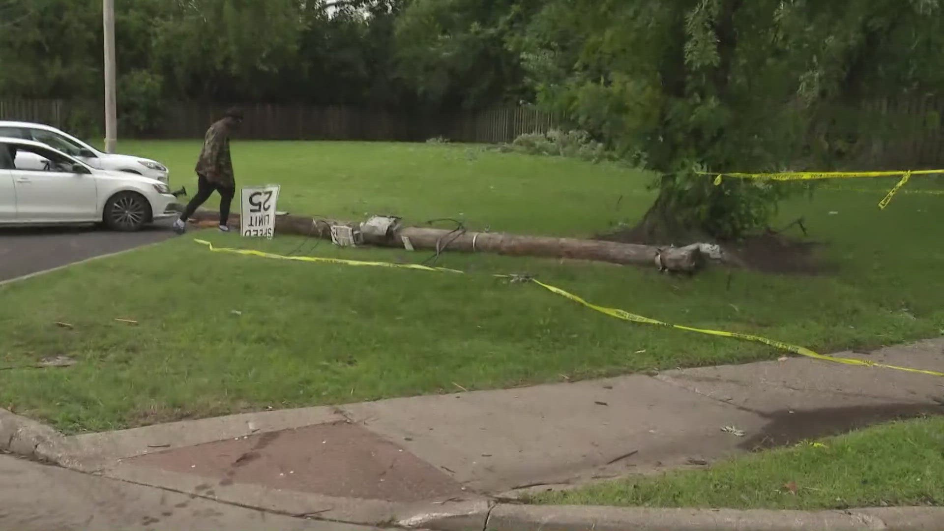
An EF-1 tornado with estimated peak winds of 110 mph happened in Cleveland, beginning near East 71st Street and Chester Avenue, ending near East 89th Street and Euclid Avenue. Extensive tree damage occurred along the path with some homes receiving minor damage. Calvary Church received extensive roof damage. Multiple light poles were bent near the base in the shopping center on East 79th Street and at the intersection of East 89th and Euclid Avenue.

There was an EF-1 tornado in Mentor that also had estimated peak winds of 110 miles per hour. The tornado began just west of Dartmoor Road near Mentor Avenue at around 12:04 a.m. The tornado worked its way east, downing numerous large trees and damaging homes. Extensive tree damage continued east across the Great Lakes Mall property, before the tornado shifted northeast and caused additional tree and power line damage near the intersection of Johnnycake Ridge Road and Fairview Avenue. The tornado ended just south of Donald E. Kruger Park.

In addition, an EF-1 tornado that affected both Ottawa and Sandusky counties was confirmed by the NWS.


